

Geospatial Data in Everyday Life – Address Data: More Than Just a House Number
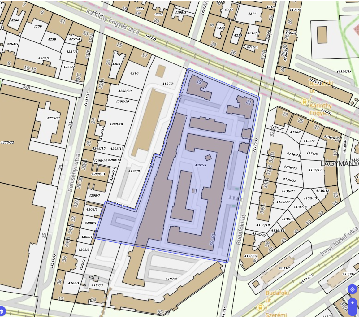
Address data comprises the complete set of information used to accurately and uniformly identify a property, a building, a parcel, an apartment, or any other location. This includes the municipality, street name, street type, house number, building, staircase, floor, door number, and postal code. In Hungary, this information is maintained in the officially certified Central Address Register (KCR).
Reliable address data forms the backbone of numerous everyday services, including postal and courier delivery, utility supply, emergency responses, electoral systems, geospatial services, and e-government platforms. When address data is incorrect or incomplete, shipments or official court notices can become undeliverable, disrupting both administrative and business operations.
How do address data and spatial data connect?
An address by itself is just descriptive text. To represent a precise physical location, it must be linked to spatial coordinates—meaning geometry. This geometry can be the coordinate of a building's entrance or its geometric center point. This becomes particularly vital for large commercial spaces, such as shopping malls; while a mall has a single address, its entrances might be hundreds of meters apart. In an emergency call situation, this exact information can save lives.
In Hungary, the database capturing the geometry within a land parcel, along with the relationship between addresses and parcel numbers, is the Location Access Database (EHA), developed and operated by Lechner. This dataset also powers the official Cadastral Parcel ID Browser application.
A key objective of the Lechner Knowledge Center's Spatial Data Strategy is to maximize the social and economic value generated from national geospatial data. In 2026, our open data initiatives reached a new milestone: several databases are now not only findable and embeddable but also fully downloadable via the inspire.lechnerkozpont.hu platform.
Looking ahead to the fall, the International Spatial Data Conference 2026 will bring Hungarian and European experts together to shape the future of geospatial data. For more details on the conference,
Ősszel pedig érkezik a Nemzetközi Téradat-konferencia 2026, ahol hazai és európai szakemberek közösen gondolkodnak a téradatok jövőjéről.