Calculation of the average Gold Crown (cropland assessment index) value for a municipality
Calculation of the average Gold Crown ( cropland assessment index) value for a municipality
Problem description
Several pieces of legislation require the use of the Gold Crown value for agricultural land classification.
Solution workflow
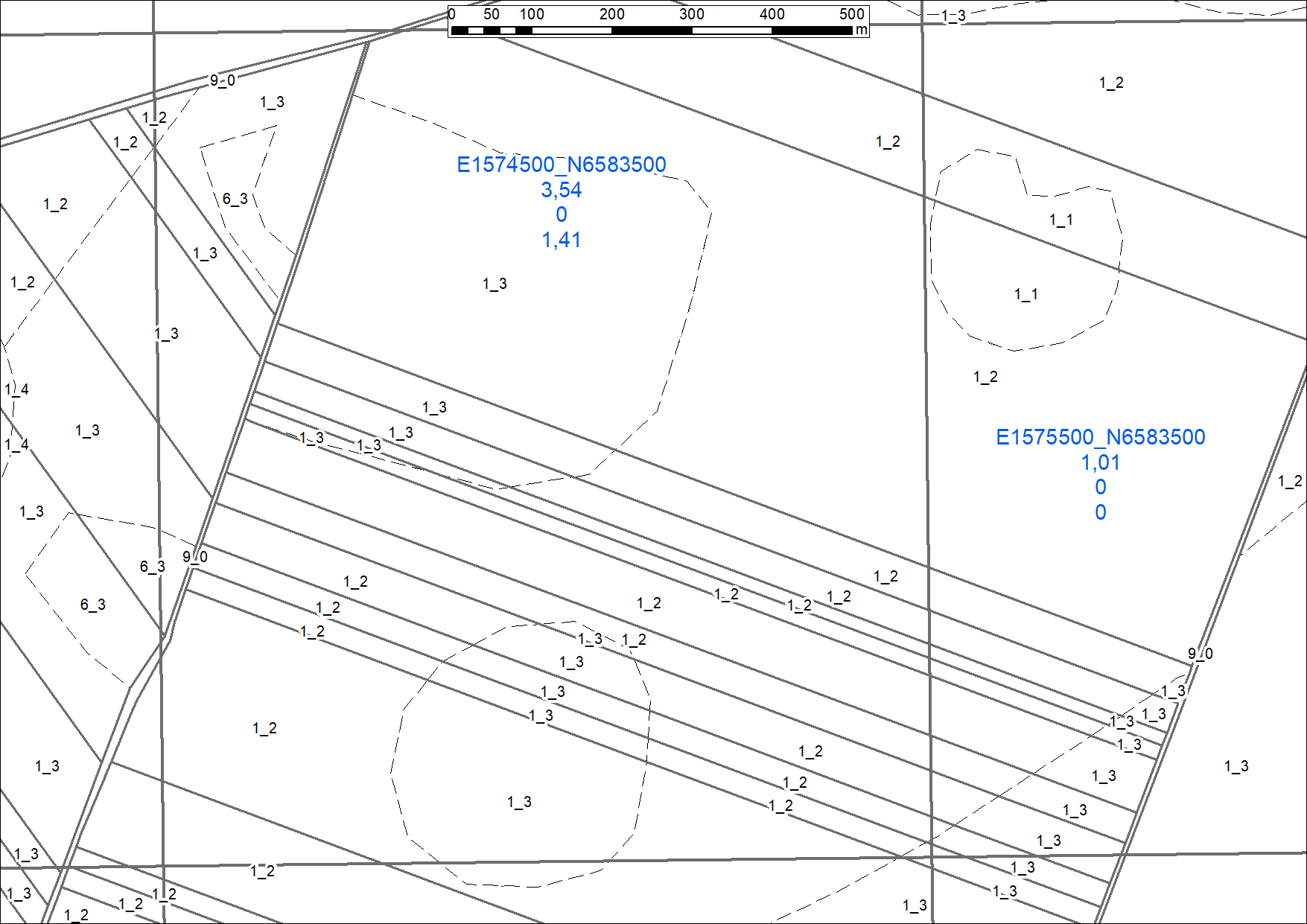
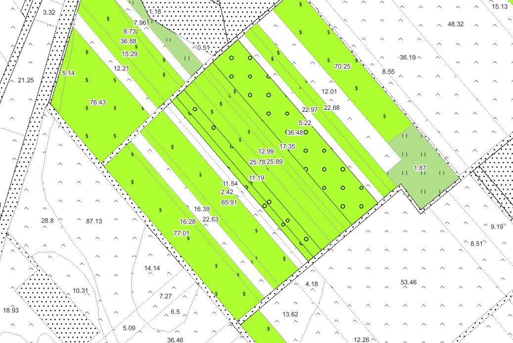
For a defined area, the soil quality class polygons can be linked to the relevant valuation district. Based on this information, the Gold Crown value of each polygon can be calculated in proportion to its actual mapped area.
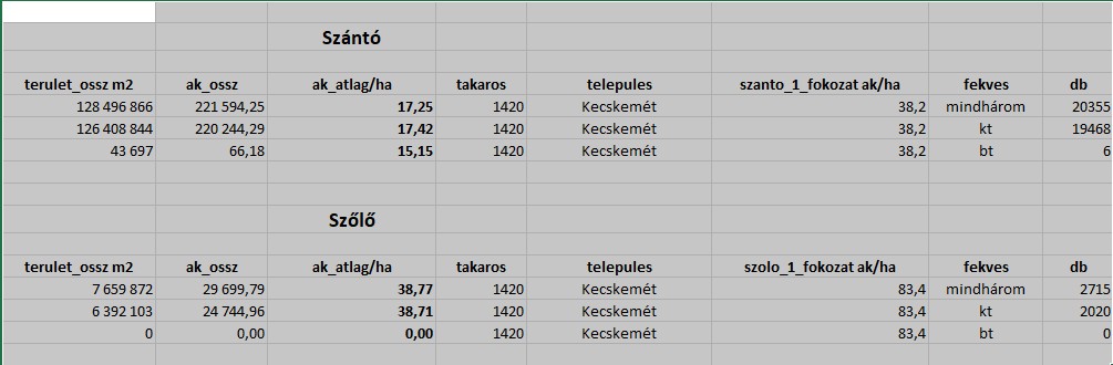
The resulting values can then be aggregated at different spatial levels, for example by municipality, by location category, or even to a regular grid. The calculation can also be performed for a specific land-use category only.
This is particularly relevant when agricultural land is withdrawn from cultivation, as the deviation from the municipal average Gold Crown value must be determined for the affected land-use category.
The results can be delivered as a dataset or visualized on a map, for example to identify areas that may be more suitable for investment from the perspective of agricultural land quality and withdrawal requirements.
Output
Soil quality class polygons enriched with calculated technical Gold Crown values, with aggregated results delivered either as spatial data or as a non-spatial list.
Available output formats may include CSV, XLSX, SHP, raster datasets, Esri geodatabases, vector grids, and other GIS-compatible formats.