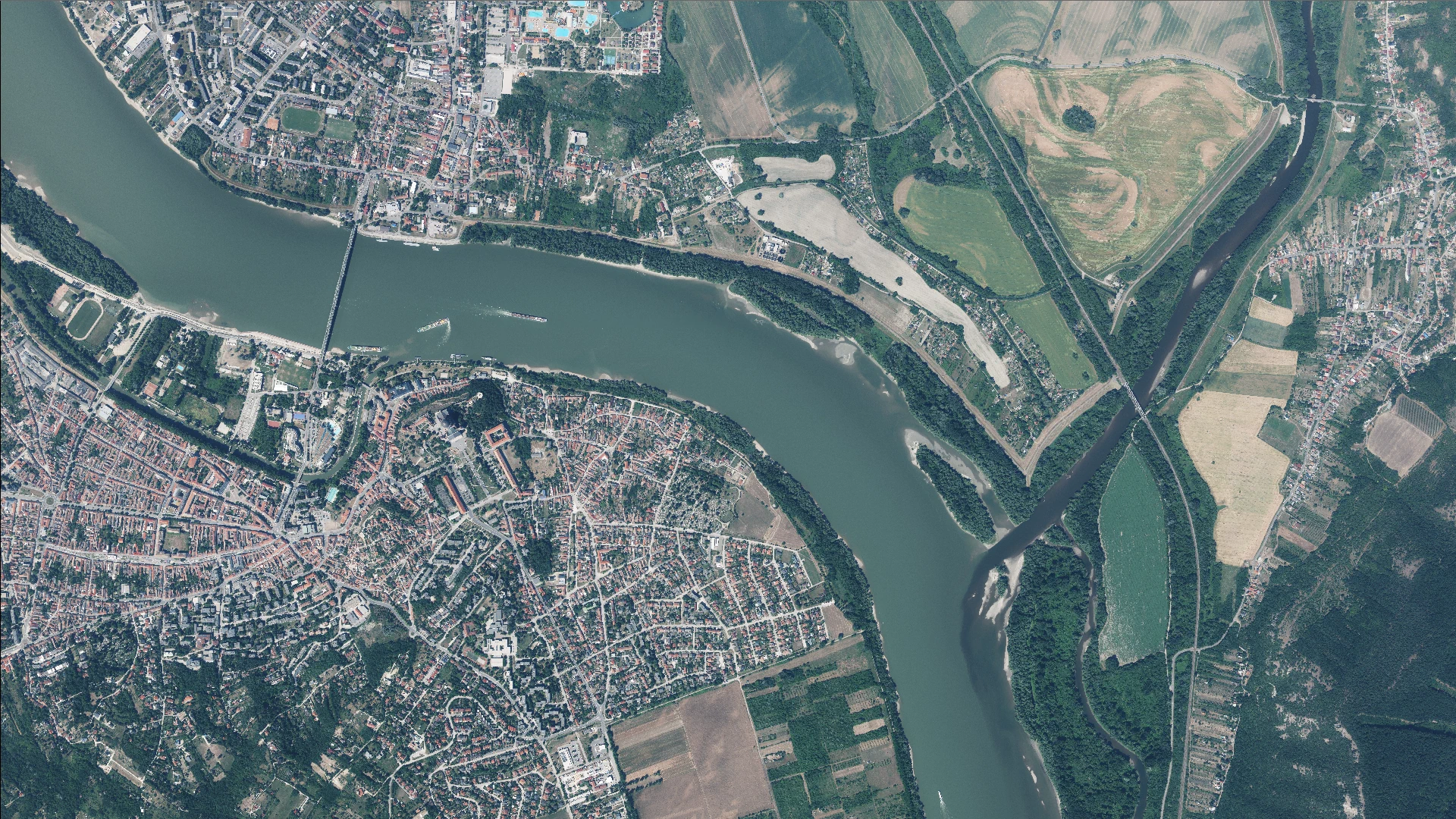
Aerial photographs 2017–2025
Aerial photographs acquired using aerial survey cameras and available in the LLTK remote sensing database.
What does it contain?
Aerial photographs from aerial photography campaigns conducted in Hungary within the last ten years, comprising leaf-on and leaf-off photographs acquired with large-format aerial survey cameras and officially accepted by the state. The photograph was typically acquired as part of the MEPAR programme, covering at least one third of the country each year during the leaf-on period; photographs acquired during the leaf-off period is also available. The radiometric resolution is typically 32-bit, with four spectral channels (NIR, R, G, B). Ground sampling distance is typically 25–40 cm for leaf-on MEPAR photograph and may vary by acquisition year.
Aerial photographs managed by the Lechner Knowledge Centre forms part of the state fundamental data databases pursuant to Section 3 (1) (f) of Act XLVI of 2012 on Surveying and Mapping Activities (Fttv). Archived analogue and digital aerial photograph forms part of the state fundamental data databases pursuant to Section 3 (1) (i) of the Fttv. When using these data, the source must be credited in accordance with Section 6/B of the Fttv. Since 2016, nationwide aerial photography has been carried out in three-year cycles (leaf-on, MEPAR). Photographs from other aerial surveys conducted for specific purposes is also available.