Geoshop
An online specialised system providing a significant part of the Lechner Knowledge Centre's geospatial data related to land registration and geodesy.
What is it used for?
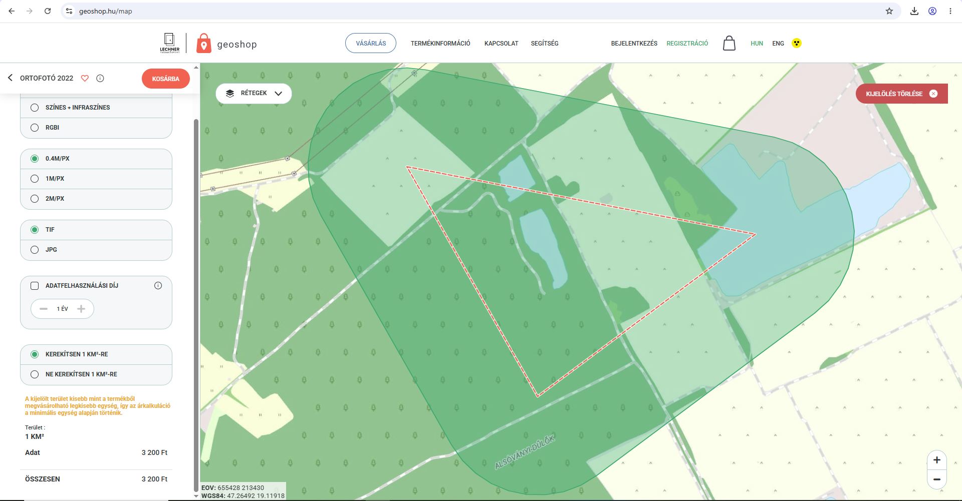
It can be used to order, 24 hours a day, a GIS copy of the state cadastral map database, orthophotos, elevation data and other geospatial datasets. Free of charge datasets can be ordered, while for chargeable datasets, payment can be made by card. The ordered products become immediately available for the entire territory of Hungary.
What problem does it solve?
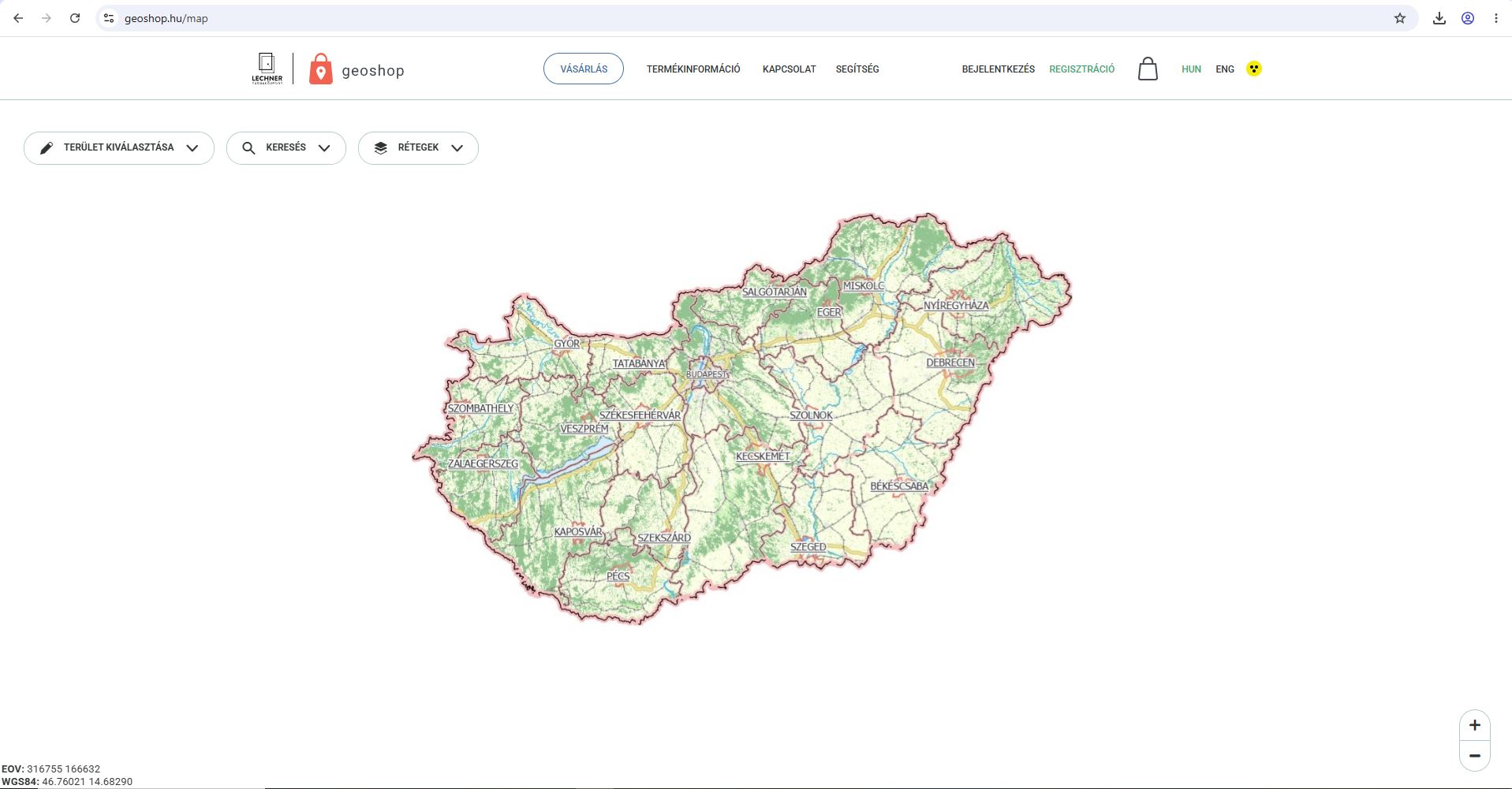
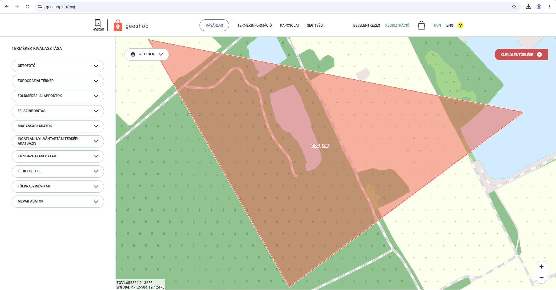
It meets users' geospatial data needs 365 days a year, 24 hours a day. By making data available almost immediately, it helps users identify and access the geospatial data available for a given area, including an overview and presentation of the available datasets and their selectable properties.
What does this service offer?
Currently available products: • Orthophotos • Administrative Boundaries • Surveying Control Points • CORINE Land Cover • GIS copy of the state cadastral map database • Topographic Maps • Aerial Photographs • Geographical Names Database • MePAR Data
Elevation Data