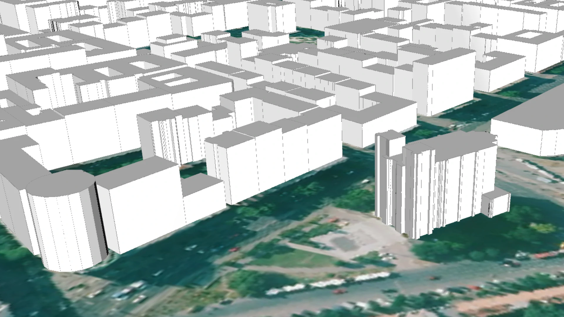
„Classic” LOD1 building model
Datasets
Remote sensing
LOD1 building model database, created by assigning height values—calculated from an aerial imagery-based nDSM (normalized Digital Surface Model)—to the building footprints stored in the map layer of the land registry database.
What does it contain?
A block-shaped 3D solid representing the generalized outer surface for all buildings or building parts. The top and bottom bounding planes are horizontal, while the lateral bounding surfaces are vertical. When visualized on a Digital Terrain Model (DTM), the lower bounding surface inherently corresponds to the terrain model.