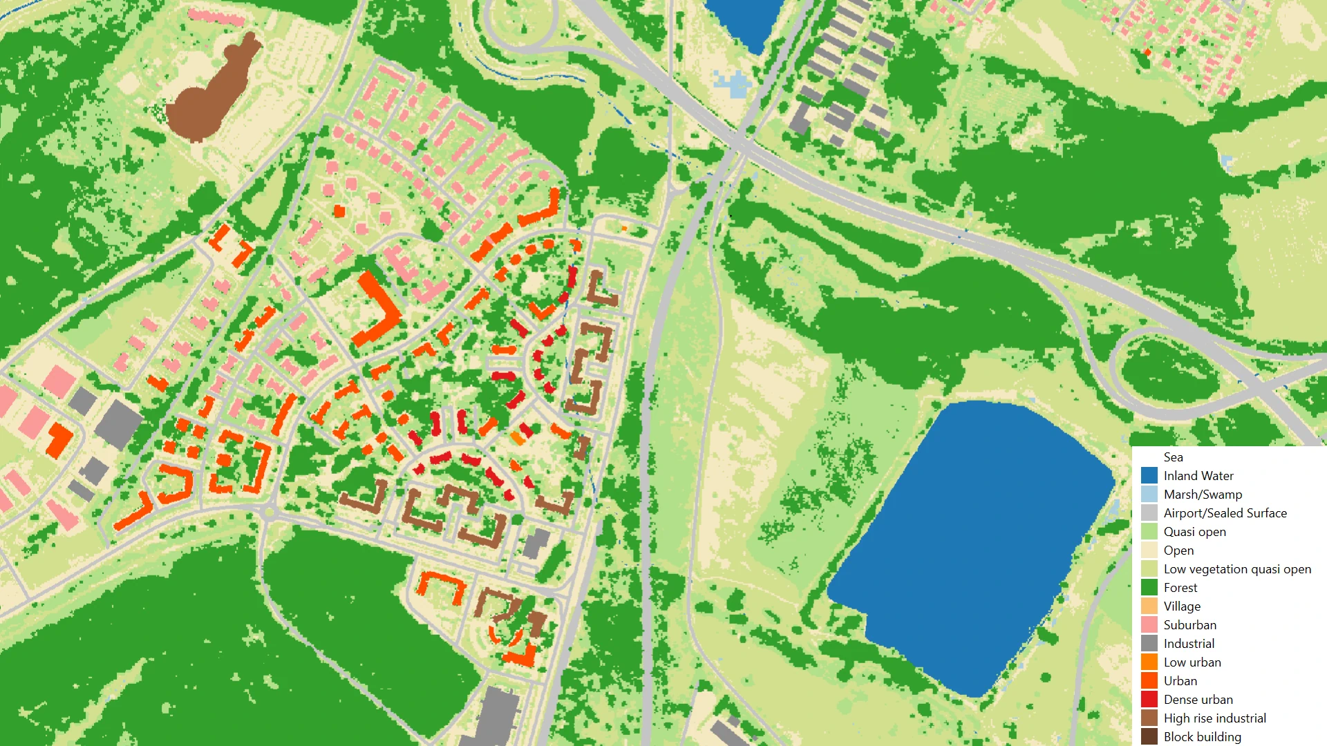
Clutter database
A raster dataset generated from databases managed by Lechner Knowledge Center (hierarchy-based raster value assignment).
What does it contain?
A raster dataset generated from databases managed by Lechner Knowledge Center, with the following categories (which can be refined based on the client's specific requirements): low vegetation, agricultural areas (vegetation height below 2m), low-density built-up areas, forests (vegetation height above 10m), villages, industrial and commercial areas, suburbs, wetlands, open areas, airports, enclosed areas, parking lots, paved surfaces, major roads, rocky and icy areas, water bodies, mostly open areas (vegetation between 2m – 10m), urban areas, and areas not classifiable into these categories. Custom resolution is available upon request.