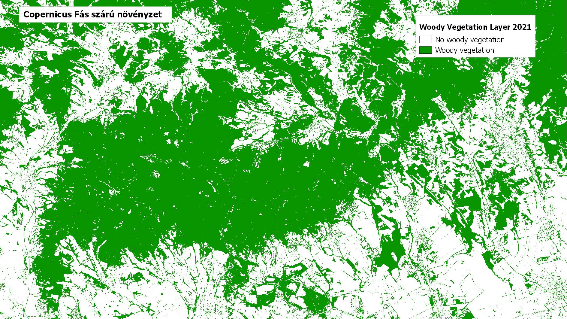
Copernicus Woody Vegetation Layer
Datasets
Remote sensing
High-resolution map of woody vegetation and small woody features in Europe.
What does it contain?
A high-resolution raster product designed to provide a more detailed map of Europe’s woody vegetation. Its enhanced spatial resolution makes it suitable for monitoring ecological corridors, agricultural shelterbelts, hedgerows and trees in urban parks. Derived layers include the Small Woody Features and Street Tree layers, as well as aggregated density and change information. The product is available for the reference years 2018 and 2021, with a three-year update cycle. Its spatial resolution is 5 m.