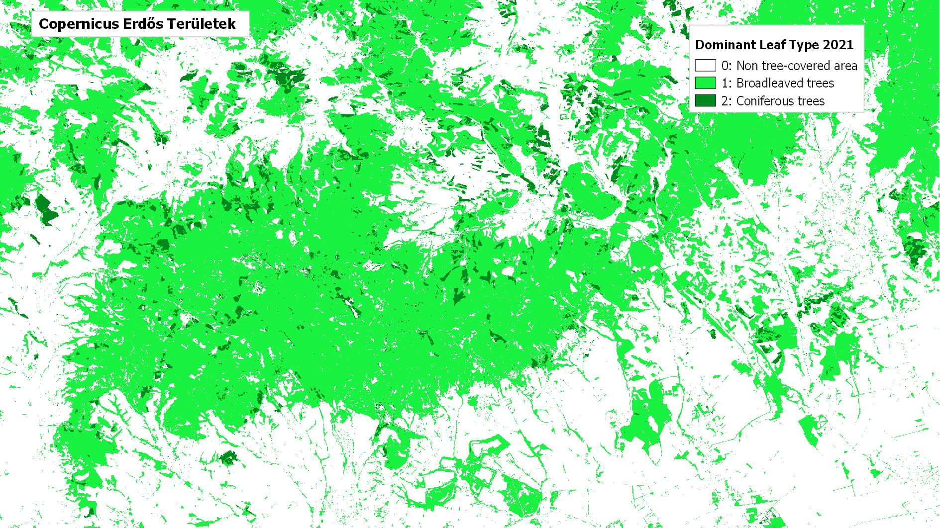
Copernicus High Resolution Layer Forests (HRL-Tree Cover Density, Dominant Leaf Type, Forest type)
Datasets
Remote sensing
High-resolution map of tree canopy cover, dominant leaf type and forest type in Europe.
What does it contain?
High-resolution raster layers for characterising Europe's tree-covered areas. Tree Cover Density provides information on the ratio of tree canopy cover, Dominant Leaf Type identifies the predominant leaf type, while Forest Type provides a classification of forest areas based on FAO definitions (broadleaved, coniferous and mixed forest). The products are available annually from 2018 onwards, while the Forest Type layer and change layers are updated every three years. Since 2018, the status layers have been produced at a spatial resolution of 10 m, while the change layers are available at a spatial resolution of 20 m.