Horizontal Control Points Database of the National Unified Horizontal Network
Datasets
Land Registry, Geodesy and Surveying
Contains descriptions of first-, second- and third-order EOMA and Bendefy horizontal control points, as well as points of the Bendefy third-order supplementary network.
What does it contain?
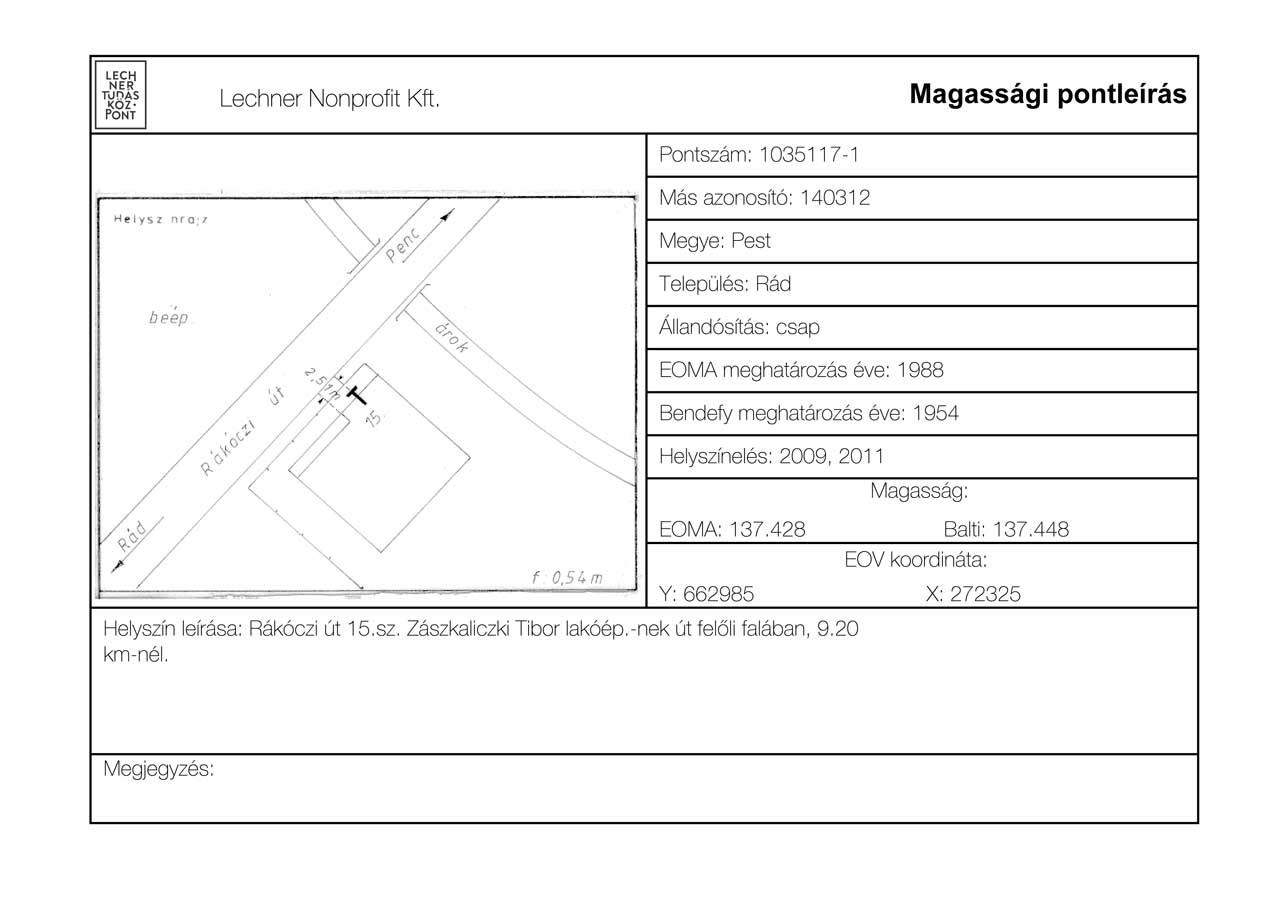
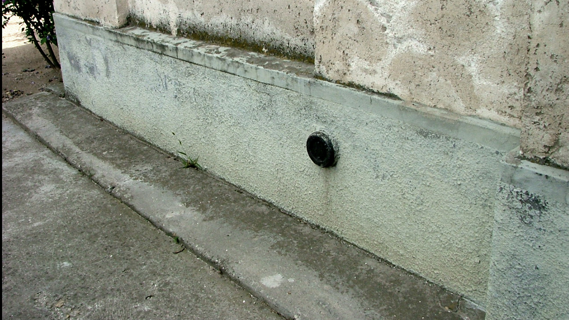
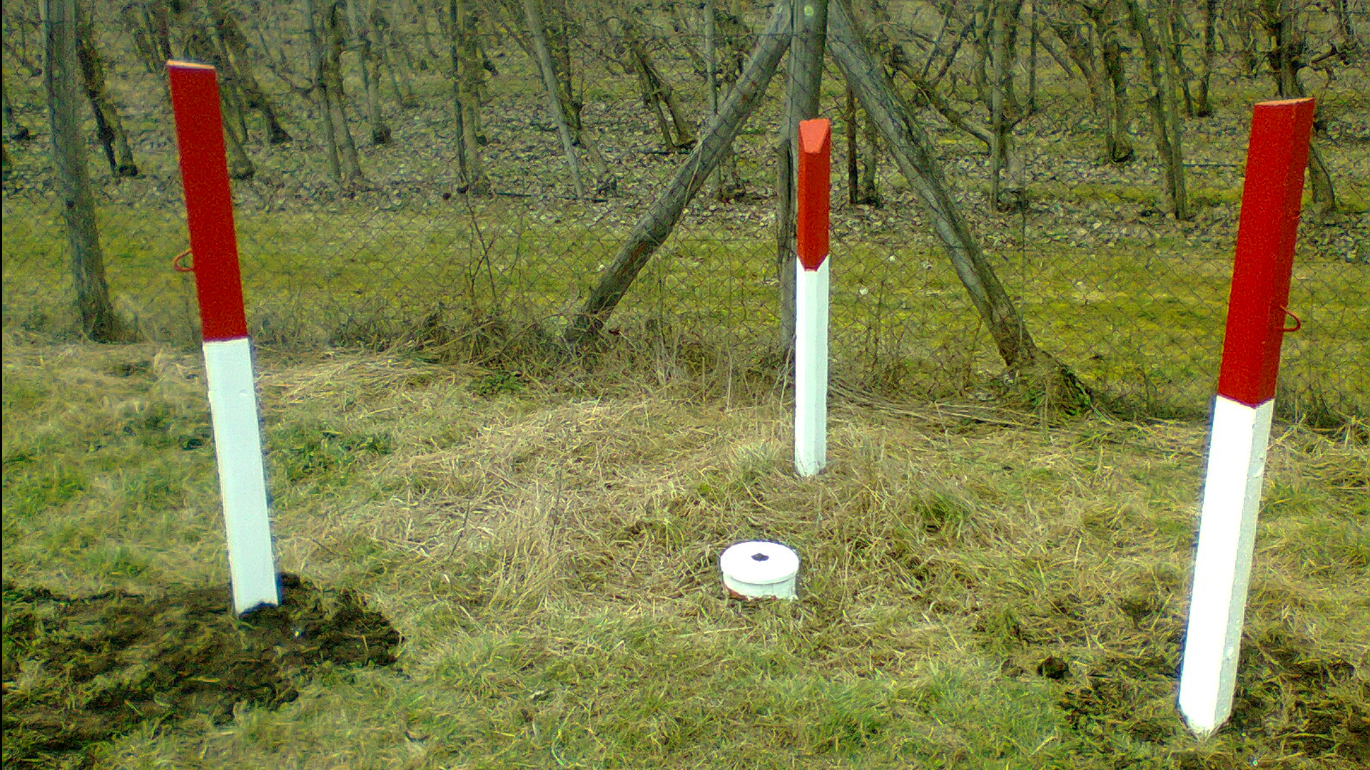
Contains first-, second- and third-order EOMA and Bendefy horizontal control points, as well as points of the Bendefy third-order supplementary network, with the following data: EOMA and Bendefy point number, elevation, approximate horizontal coordinates, monumentation method, description of the point location, county, settlement name, previous point number and elevation, point location sketch, year of EOMA survey, year of Bendefy survey (for EOMA and Bendefy horizontal control points), the two most recent field inspection years, etc.