Integrated Satellite Height Control Network (IMMA)
Datasets
Land Registry, Geodesy and Surveying
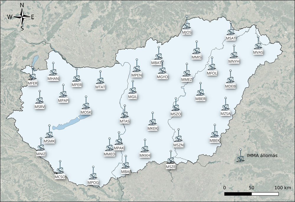
Evenly distributed IMMA points across Hungary provide GNSS, InSAR, levelling and gravimetric measurements at the same locations, enabling high-precision positioning.
What does it contain?
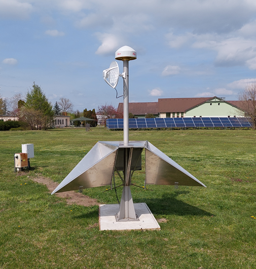
The IMMA network consists of stations installed at 60–70 km intervals, providing continuous multi-GNSS (GPS/GLONASS/Galileo/BeiDou) and InSAR observations, supplemented by periodic levelling and gravimetric measurements. Continuous and integrated scientific processing of the measurement data provides high-precision information on contemporary surface movements. The IMMA network also provides the measurement data used by the gnssnet.hu service.