GNSSnet.hu
The GNSS Service Centre provides internet-based data in real time or for post-processing, enabling high-precision satellite positioning.
What is it used for?
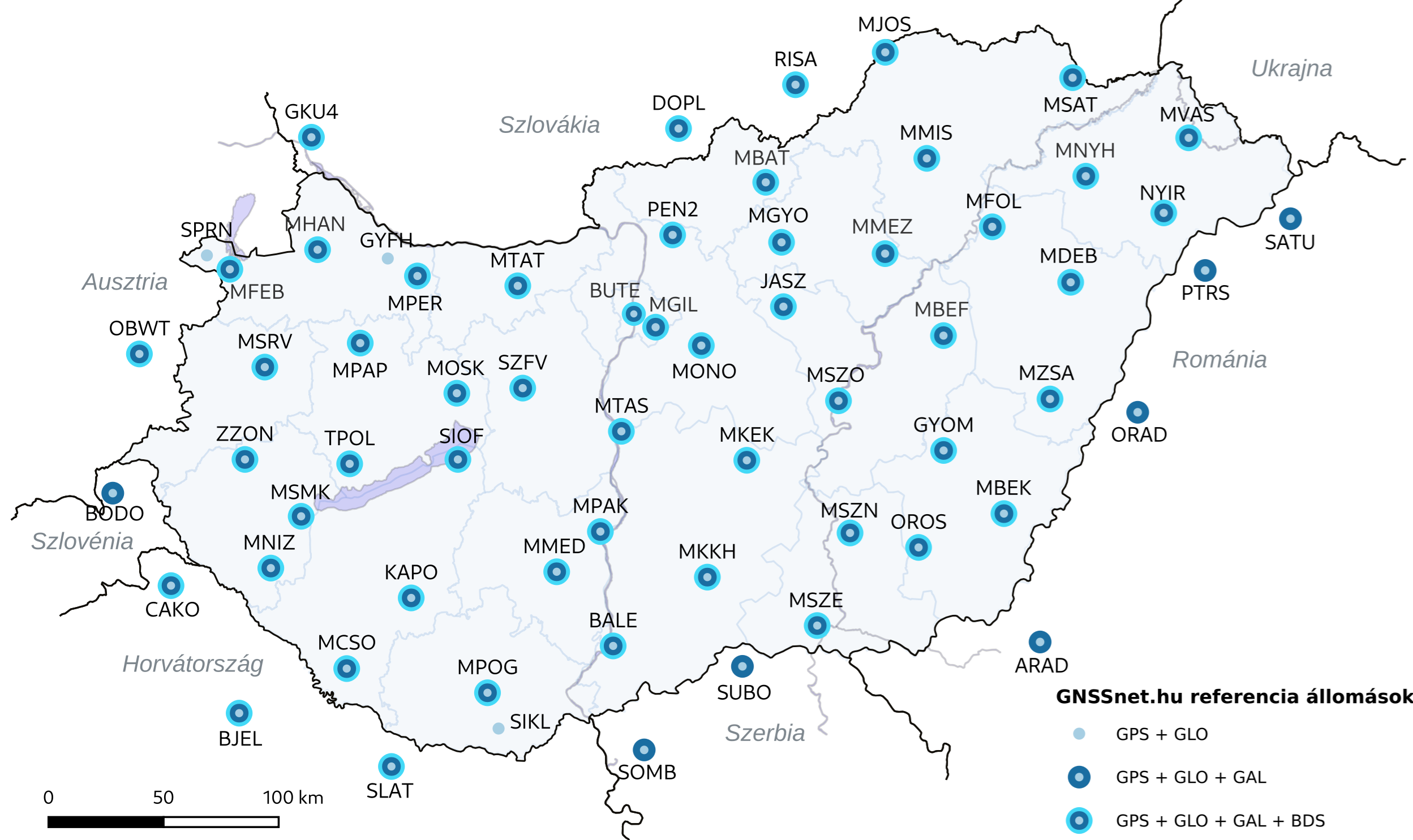
The GNSS Service Centre's nationwide reference station network provides a terrestrial augmentation service for satellite positioning. Through the operation of the system and the processing of observation data from the reference stations, satellite positioning errors can be determined and mitigated. Using these corrections, GNSS positioning can be improved from an accuracy of a few metres to centimetre-level accuracy in real-time kinematic measurements, and to an accuracy of a few millimetres through post-processing.
What problem does it solve?
Using the GNSS core constellations (GPS/GLONASS/Galileo/BeiDou), positioning accuracy of a few metres can be achieved. This can be improved to high-precision positioning using data from the Service Centre's reference station network.
What does this service offer?
GNSS corrections available online in real time for different accuracy requirements, as well as observation data from the reference stations for post-processing.