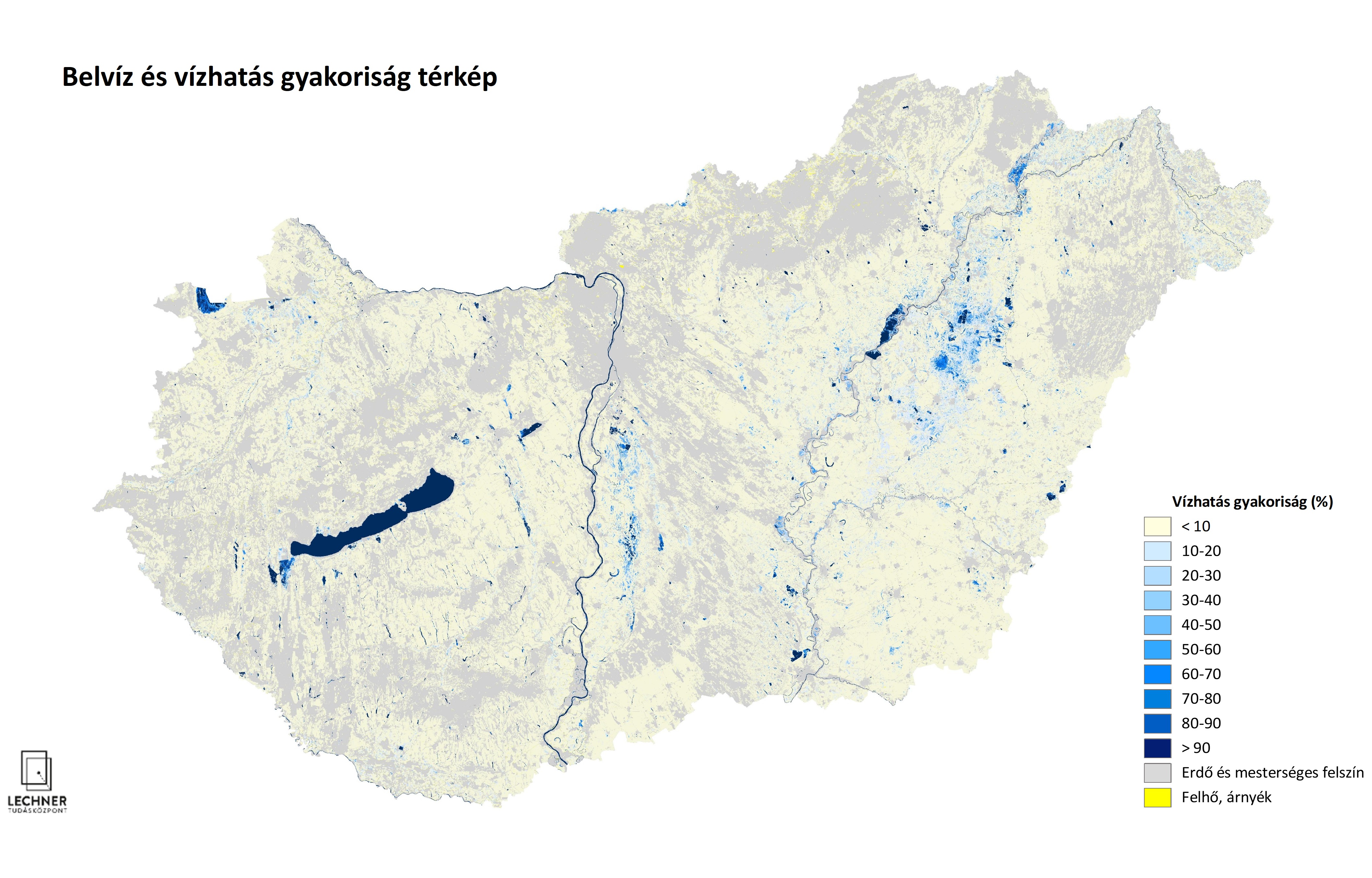
Inundation frequency map
Datasets
Remote sensing
A thematic map generated from optical satellite imagery that shows the frequency of water coverage in a given area.
What does it contain?
We produce thematic maps from optical (and radar) satellite images that show the water coverage of a given area at a specific point in time. These maps depict open bodies of water, vegetation growing in water, and soils saturated with water to varying degrees. We then integrate the maps over time periods to calculate the frequency of water coverage. The national inland water frequency map available here was created using surveys dating back several decades.