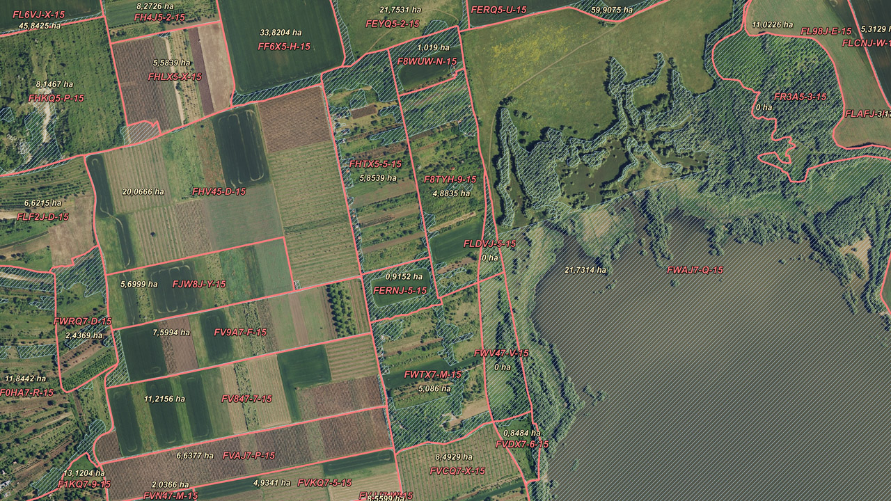
MePAR Physical Block and Ineligible Area Boundaries
Datasets
Remote sensing
The geometry and identifiers of MePAR physical blocks, as well as the spatial delineation of ineligible areas within the blocks.
What does it contain?
The Land Parcel Identification System (MePAR) is a nationwide GIS system serving as the basis for area-based agricultural subsidies. It provides a standardized framework for the identification, delineation and attribute data of agricultural land parcels (MePAR blocks).