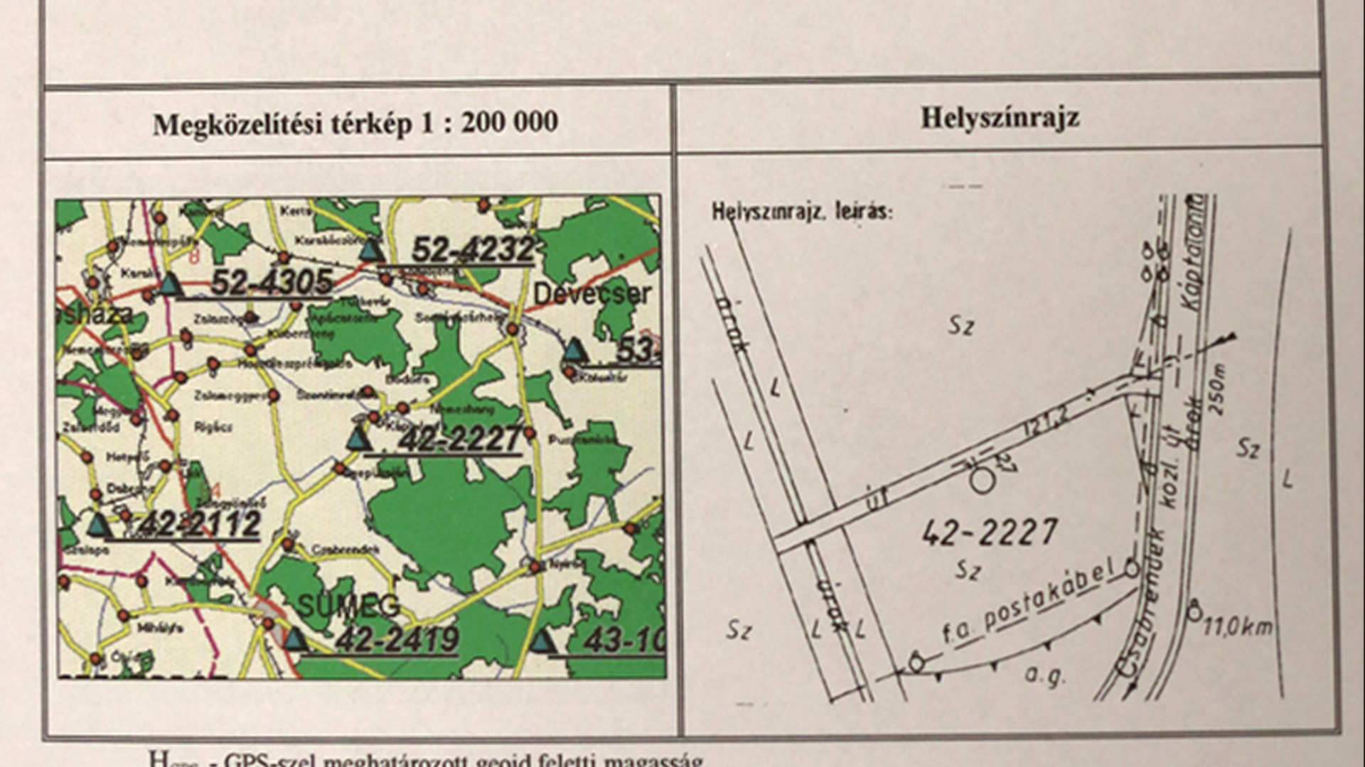
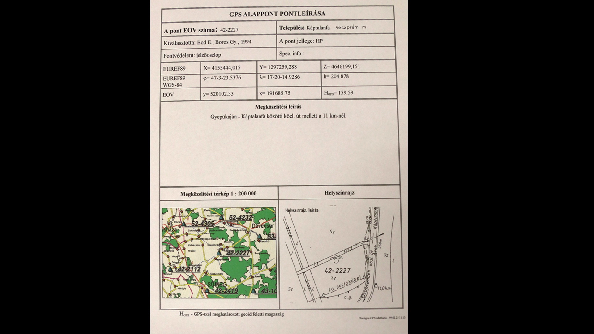
National GPS Network Control Points (OGPSH)
Datasets
Land Registry, Geodesy and Surveying
Control points establishing the connection between the traditional horizontal EOV and the satellite-based spatial ETRS89 reference systems.
What does it contain?
The points of the network, established between 1994 and 1998, were selected from the EOVA third- and fourth-order points with an approximately uniform point spacing of 10 km. The OGPSH currently consists of 1,166 points, corresponding to an average point spacing of approximately 10 km. In addition to providing starting points for GPS-based surveys, the OGPSH enables transformation between the traditional and GPS coordinate systems. Data on OGPSH points (GPS network designation, WGS 84 coordinates) form part of the VAB database.