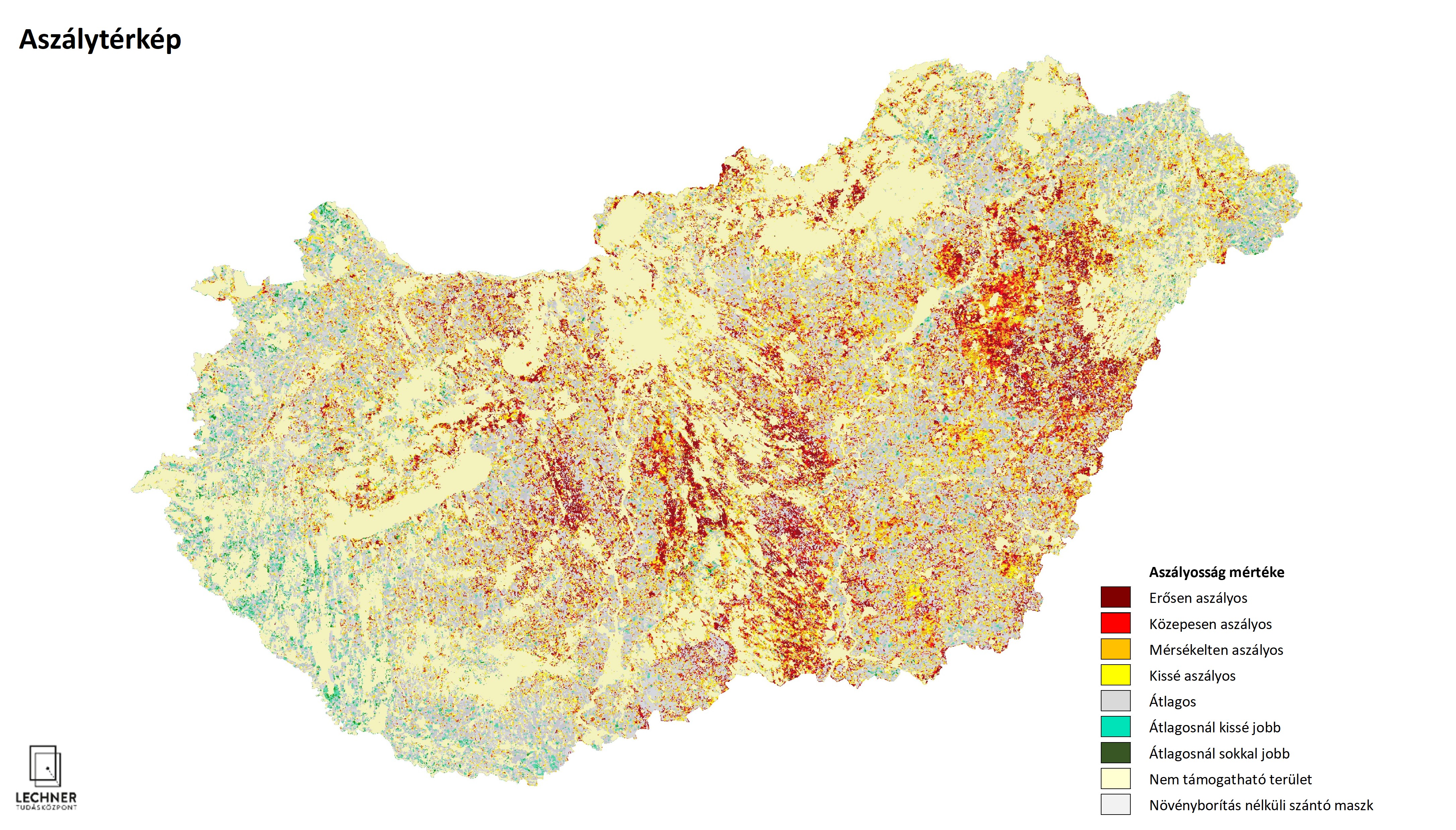
Remote-sensing Drought Map
Datasets
Remote sensing
A thematic map generated from medium-resolution optical satellite imagery that shows the severity of drought in agricultural areas.
What does it contain?
A thematic map created from medium-resolution (250 m) optical satellite imagery that shows the impact of drought conditions on vegetation in agricultural areas.