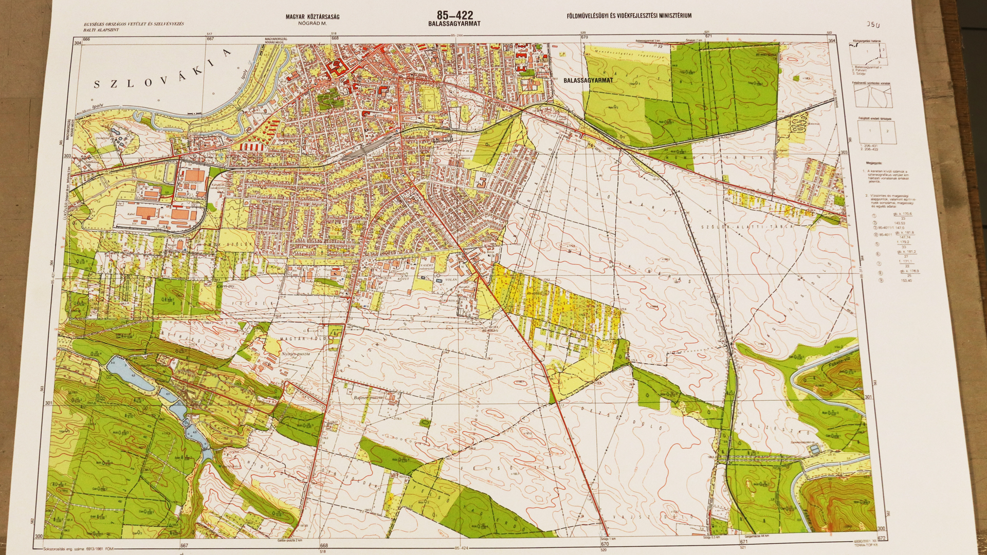
State Topographic Map
Datasets
Land Registry, Geodesy and Surveying
Cartographic products depicting natural and artificial features of the Earth's surface using colours and conventional symbols, based on the EOTR map sheet indexing system.
What does it contain?
Topographic maps of Hungary at scales of 1:10,000, 1:25,000, 1:100,000 and 1:200,000, depicting natural and artificial features of the Earth's surface using colours and conventional symbols. The maps are based on the EOV projection system and use the EOTR map sheet indexing system.