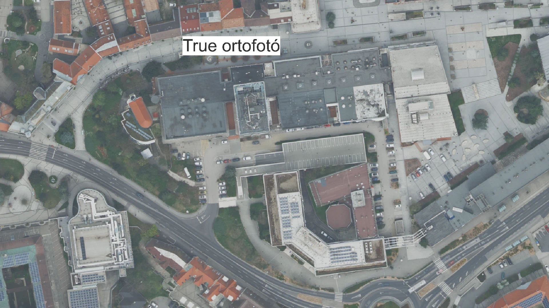
True orthophoto
Datasets
Remote sensing
True orthophoto databases
What does it contain?
In traditional orthophotos, trees, buildings, and other features often appear to "lean," meaning they are not viewed perfectly from above (orthogonally) but rather slightly from the side. This happens because the terrain models used to generate classic orthophotos do not include these objects - representing "only" the bare ground - so the processing software cannot account for their height information. By utilizing specialized image acquisition and processing methods, this distortion can be eliminated to create a "true orthophoto," which displays every pixel of the image, including above-ground features, in its exact real-world position.