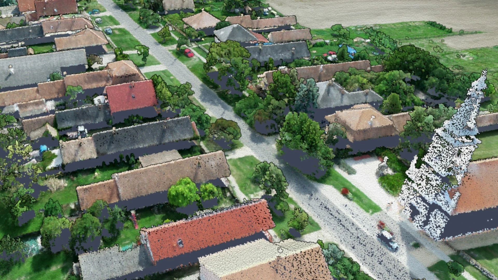
UAV Data Collection and Processing (survey-grade imagery, LiDAR, and derived products)
Optical and LiDAR datasets captured via UAV platforms.
Problem description
When traditional terrestrial surveying is too slow, logistically challenging, or impractical, and large-scale manned aerial photogrammetry is not cost-effective, UAV-based surveying technologies bridge the gap to provide an efficient and highly accurate solution.
Solution workflow
Our experts process high-overlap imagery and LiDAR data—captured by professional imaging equipment mounted on UAV platforms—using specialized photogrammetry and LiDAR software. This processing incorporates Ground Control Points (GCPs), checkpoints, as well as onboard IMU and GNSS measurements. Utilizing largely automated processing algorithms, they generate georeferenced, high-accuracy, and high-resolution 3D models, orthophotos, and point clouds.
Output
Digital orthophoto datasets, point cloud datasets, textured 2.5D and 3D mesh models, and 3D Gaussian splat models.