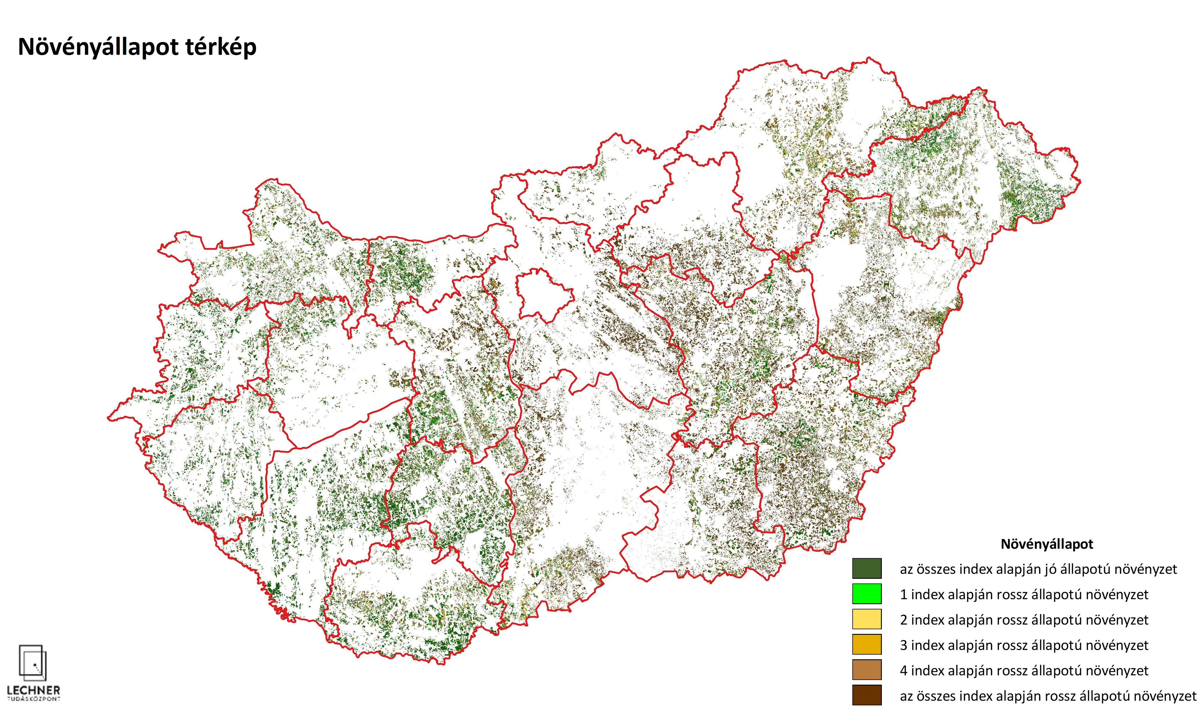
High-Resolution Crop Condition Mapping
LTK has developed a unique remote sensing technology to monitor damage to agricultural crops
Problem description
Adverse weather events (heat, drought, hail, and flooding) negatively affect the growth of agricultural crops. Our high-resolution crop condition map shows the extent of damage within individual farm fields.
Solution workflow
We analyze spectral indices that characterize the condition of vegetation by comparing the values typical of a given region with those measured on the plot under study, and use this data to create a thematic map divided into categories.
Output
The results clearly show the extent to which the condition of the crops grown in the study area falls short of what is typical, as well as which parts of the field are in better condition and which are in worse condition.