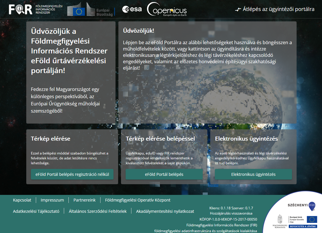
Earth Observation Information System
FIR is a government information system that facilitates the download, storage, and processing of optical and radar satellite imagery depicting Hungary. It is produced as part of the European Union and European Space Agency’s Copernicus Earth observation program.
What is it used for?
FIR is a government information system that facilitates the download, storage, and processing of optical and radar satellite imagery depicting Hungary, produced as part of the European Union and European Space Agency’s Copernicus Earth observation program. The maps and geospatial data produced each year by this system—based on thousands of officially certified satellite images—support various fields, including agriculture, fire protection, water management, forestry, national defense, and disaster management.
What problem does it solve?
FIR stores Sentinel satellite images relating to Hungary and provides easily searchable access to them.
What does this service offer?
Raw and processed Sentinel satellite images and thematic maps based on satellite imagery.