Contour Lines
Datasets
Land Registry, Geodesy and Surveying
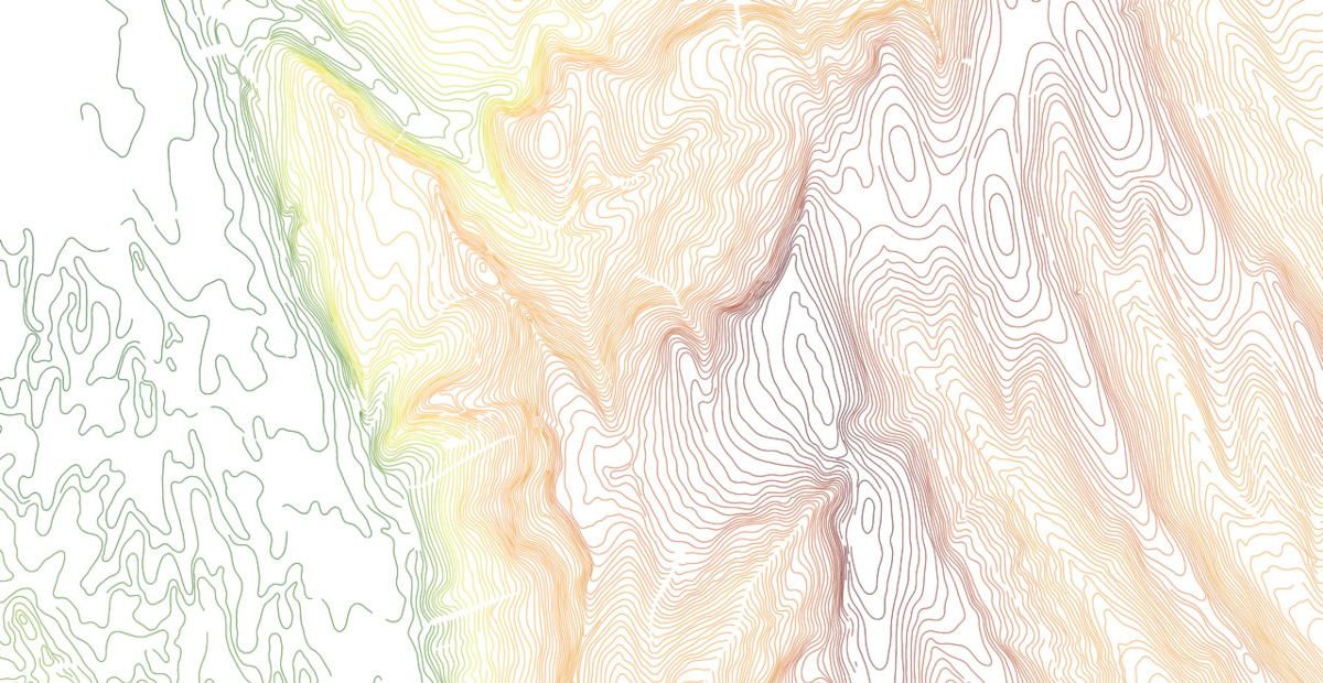
A digital vector terrain dataset representing the elevation characteristics of the terrain using contour lines, based on 1:10,000-scale topographic maps.
What does it contain?
The dataset was created by scanning the terrain layers of 1:10,000-scale EOTR topographic map sheets, followed by georeferencing and vectorization. It does not include terrain features represented by conventional symbols on the topographic maps (e.g. gullies, sinkholes or rockfalls). Contour line density varies according to terrain characteristics and may therefore differ between areas. The data currency corresponds to that of the underlying maps.