Spatial Decision Support System
Mapping the spatial and long-term impacts of decisions that influence land use at the national and regional levels (e.g., infrastructure developments, major projects, subsidy policy decisions, legislation).
Problem description
Infrastructure development, the implementation of major investments, agricultural funding, climate adaptation, and regional water management are just a few examples of the decisions that influence the country’s spatial structure, the development of individual regions, and people’s quality of life. However, the effects of these decisions typically have a wide-ranging impact and manifest themselves over the long term. Therefore, it is advisable to prepare an impact analysis that includes various scenarios prior to making these decisions. Future scenario analysis and the mapping of possible scenarios for land-use change aid in decision-making.
Solution workflow
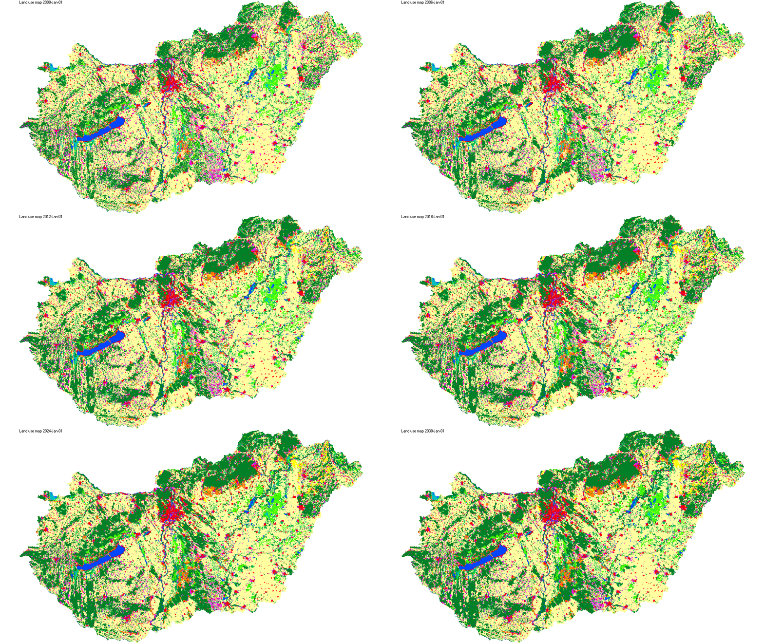
A decision support system manages spatial data in an integrated approach and focuses specifically on the areas necessary for impact analysis. The model allows for the simulation of various scenarios, the results of which are future, alternative land-use maps. By analyzing these maps and conducting a comparative evaluation of the scenarios, it is possible to make more balanced decisions that promote the region’s sustainable development.
Output
A spatial decision-support mapping and modeling system that can illustrate potential future land use based on alternative scenarios and support the decision-making process using spatial structure and indicators.