Copernicus CLCplus Backbone
Datasets
Remote sensing
A pan-European high-resolution harmonised raster land cover product.
What does it contain?
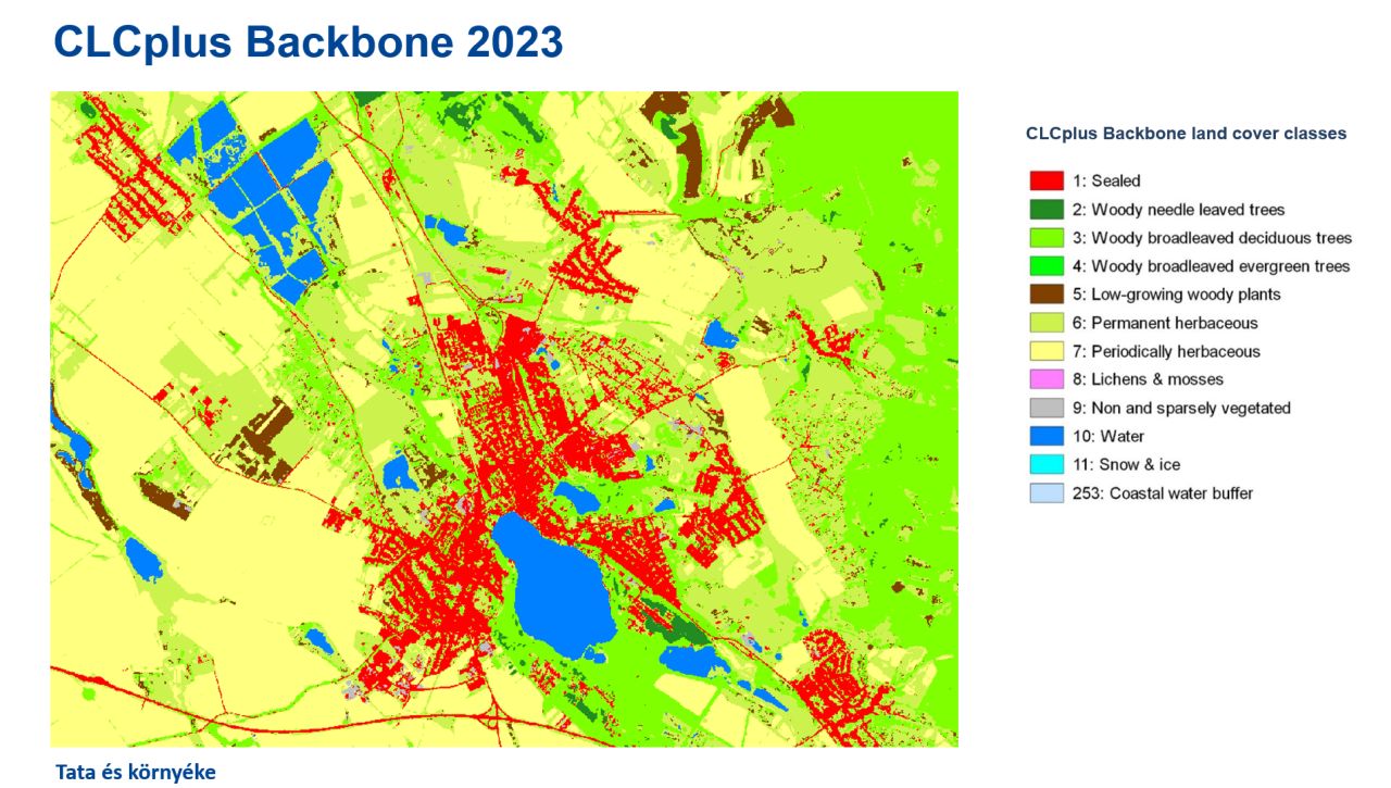
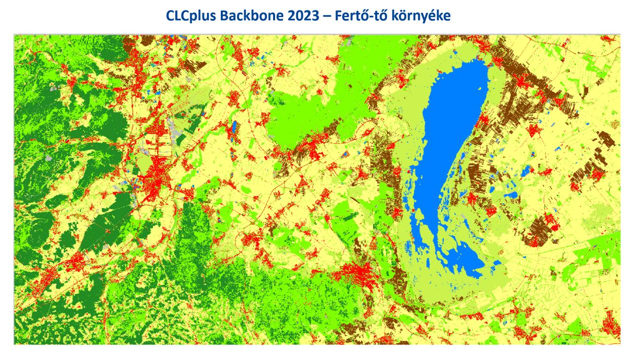
A pan-European harmonised high-resolution land cover map, that provides a detailed representation of land cover spatial patterns across the continent. It serves as the common reference dataset forming the foundation of the CLCplus product family. Derived from semi-automated classification of satellite imagery, the map is produced at 10 m spatial resolution and includes 11 land cover classes. Available for the reference years 2018, 2021 and 2023, it has a two year update cycle starting from 2021.