Copernicus N2K (grassland-dominated Natura 2000 sites)
Datasets
Remote sensing
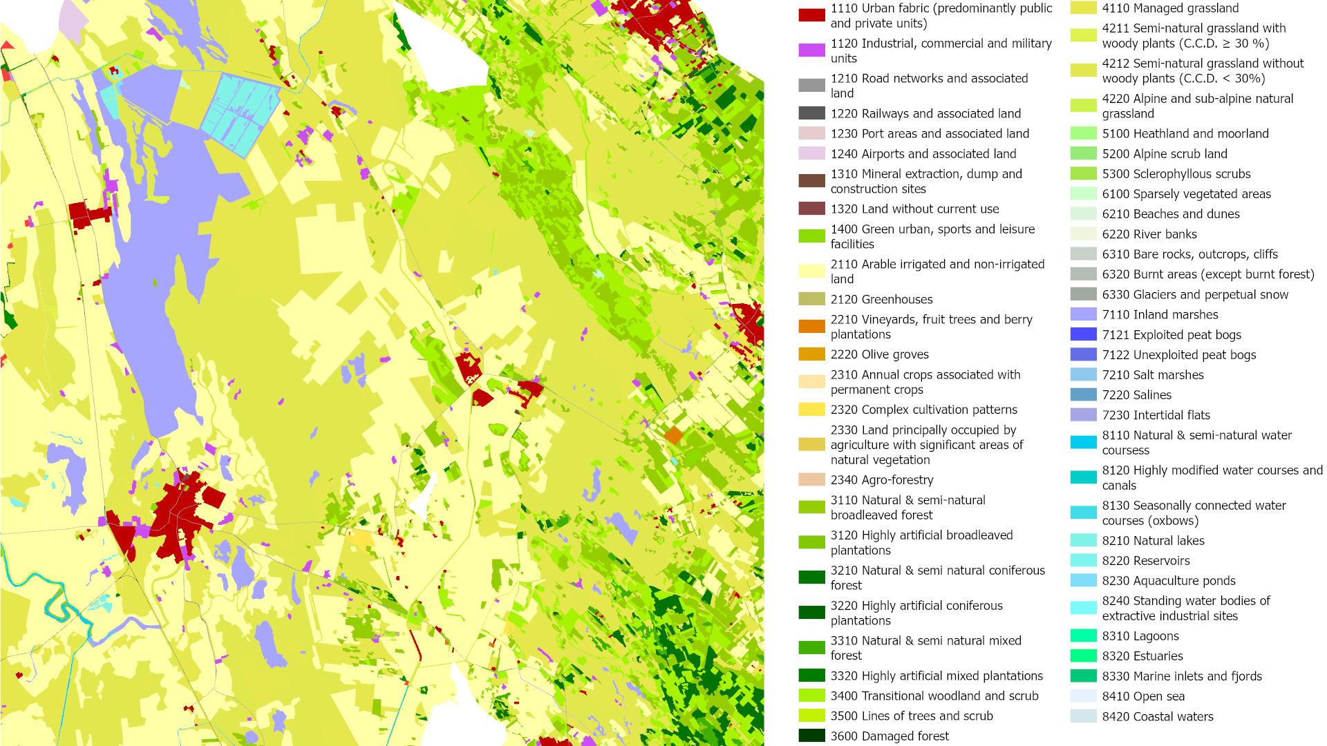
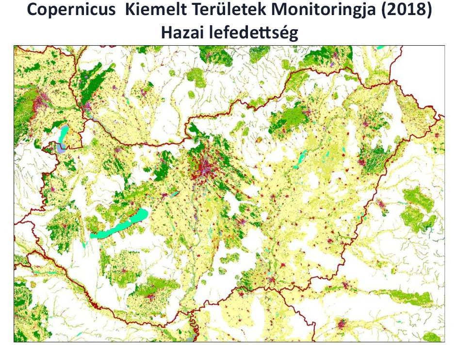
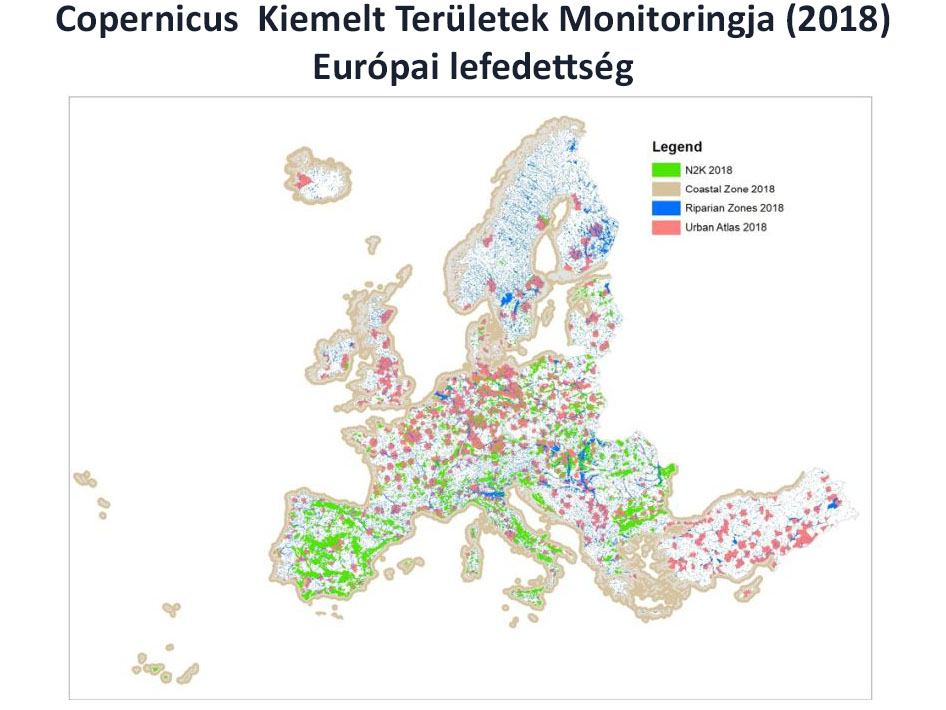
Land cover map of grassland-dominated protected areas of the Natura 2000 network in Europe.
What does it contain?
The Natura 2000 (N2K) product is designed to support the monitoring of the state and temporal changes of grassland-rich Natura 2000 sites protected under the European Union Habitats Directive, which is essential for informing conservation decisions, creating policy, and increasing accountability for land managers. The vector-based N2K dataset is available for the reference years 2006, 2012 and 2018, with a spatial resolution of 0.5 ha and 55 thematic classes. Change maps have also been produced for the periods between the reference years.