Copernicus Riparian Zones
Datasets
Remote sensing
High-resolution land cover map of riparian zones along rivers and watercourses.
What does it contain?
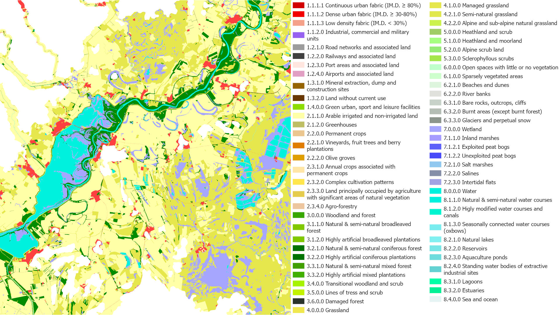
The Riparian Zones layer maps the land cover and land use of transitional water-related areas located along rivers and watercourses. The product depicts the location and extent of riparian zones, supporting the assessment of riverine environments, habitats and ecological connectivity. For the reference years 2012 and 2018, the dataset is available as a vector status layer with a minimum mapping unit of 0.5 ha, complemented by a 10 m spatial resolution change layer showing changes between 2012 and 2018. The product comprises 55 thematic classes.