Copernicus Urban Atlas
Datasets
Remote sensing
Detailed land cover and land use map of functional urban areas in Europe, complemented by additional urban thematic layers.
What does it contain?
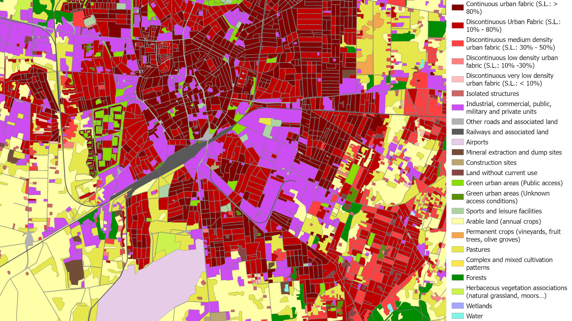
A detailed land cover and land use map of Europe's Functional Urban Areas (FUAs), featuring 17 urban classes up to 2018 and 19 urban classes from 2021 onwards, and 9 non-urban classes. Its core layer is the Urban Atlas LULC dataset, complemented by change layers, the Street Tree Layer and the Building Block Height raster layer. The product is available for the reference years 2006, 2012, 2018 and 2021. The minimum mapping unit (MMU) is 0.25 ha for urban classes and 1 ha for rural classes.