County Spatial Plans
Datasets
Construction and spatial planning
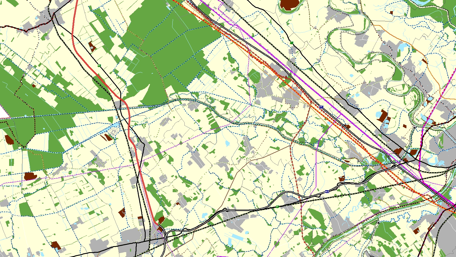
GIS data of spatial plans for the counties, available as web maps and WMS services.
What does it contain?
GIS data of the spatial plans for the counties, prepared in 2019–2020 under Act XXI of 1996 on Regional Development and Spatial Planning and currently in force. The layers include the structural plan (land use, transport, energy, water management, and waste management infrastructure) and zoning plan (nature, soil, water, national defence, heritage, and protection zones).