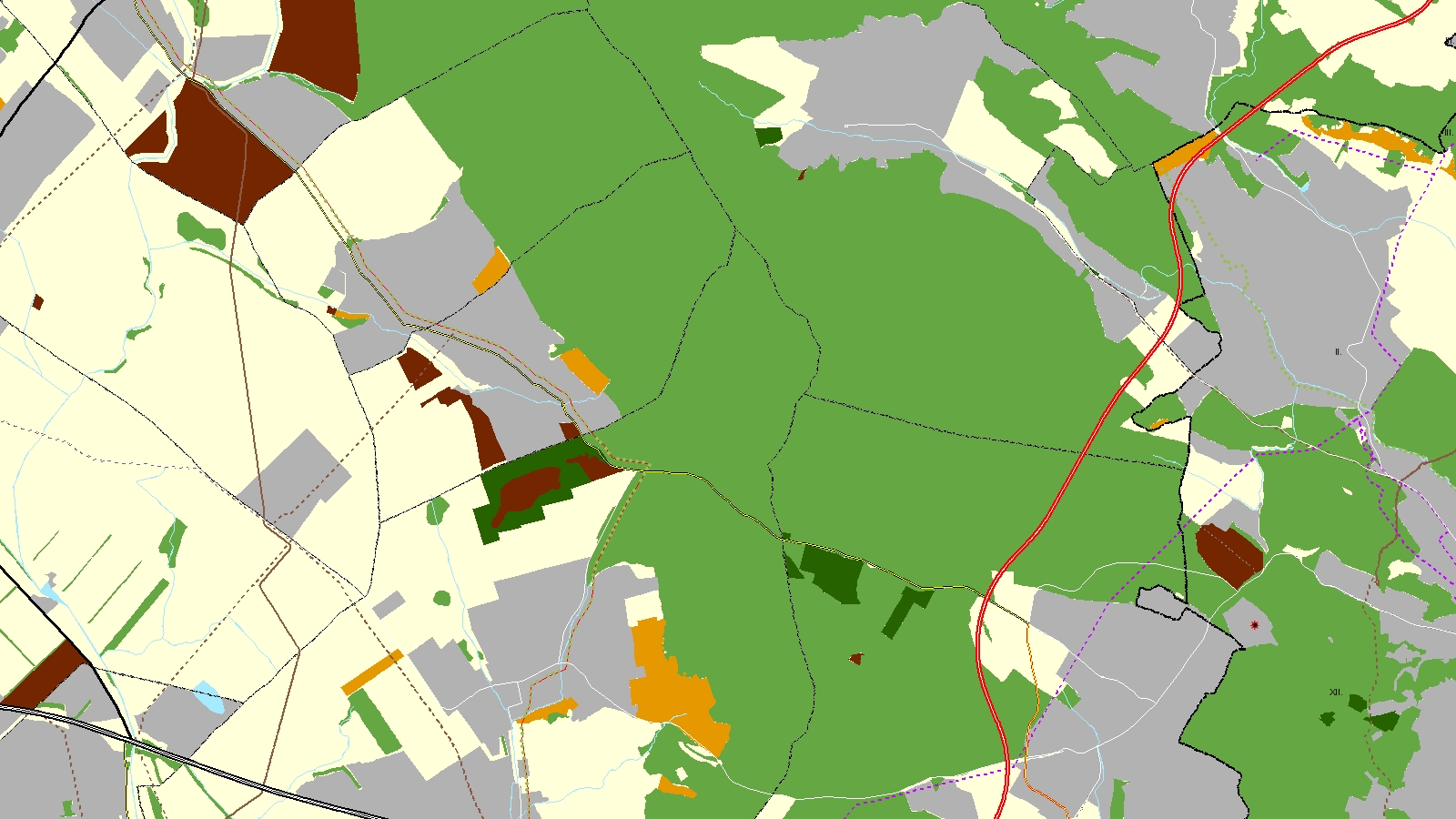
Spatial Plan of the Budapest Agglomeration
Datasets
Construction and spatial planning
GIS data of the spatial plan for the Budapest Agglomeration (BATrT), available as a web map and WMS service.
What does it contain?
GIS data of the spatial plan defined by Act CXXXIX of 2018 on the Spatial Plan of Hungary and Certain Priority Areas, supplemented by Government Decree 9/2019 (VI. 14.) MvM, covering the Balaton Priority Recreational Area (181 settlements, including lakeside and hinterland settlements). The layers include the structural plan (land use, transport, energy, water management, and waste management infrastructure) and zoning plan (nature, soil, water, national defence, heritage, and protection zones).