LiDAR based normalized elevation model (free of charge)
Datasets
Remote sensing
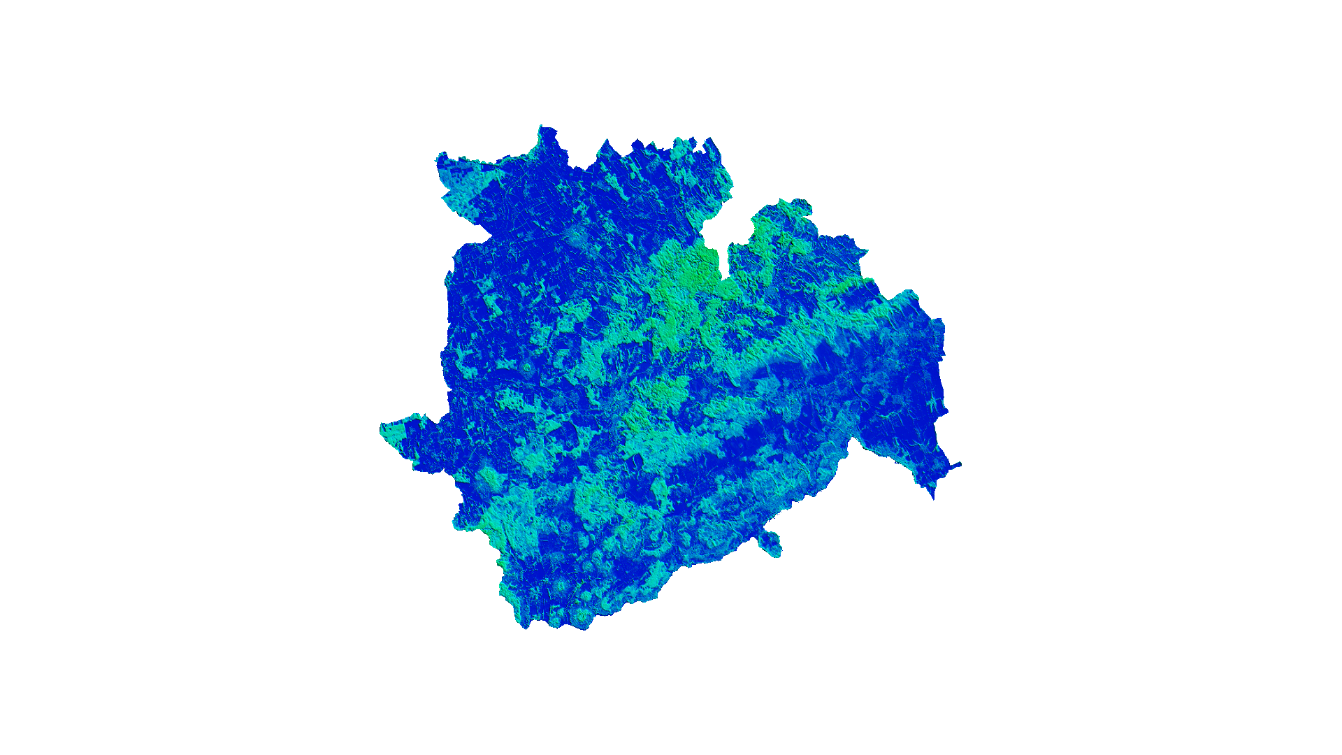
A digital relative height model representing the terrain and all above-ground surface features, derived from LiDAR measurements. It is available free of charge for Veszprém county at a 25m spatial resolution.
What does it contain?
A digital relative height model representing the terrain and all above-ground surface features, derived from LiDAR measurements. It is available free of charge for Veszprém county at a 25m spatial resolution.