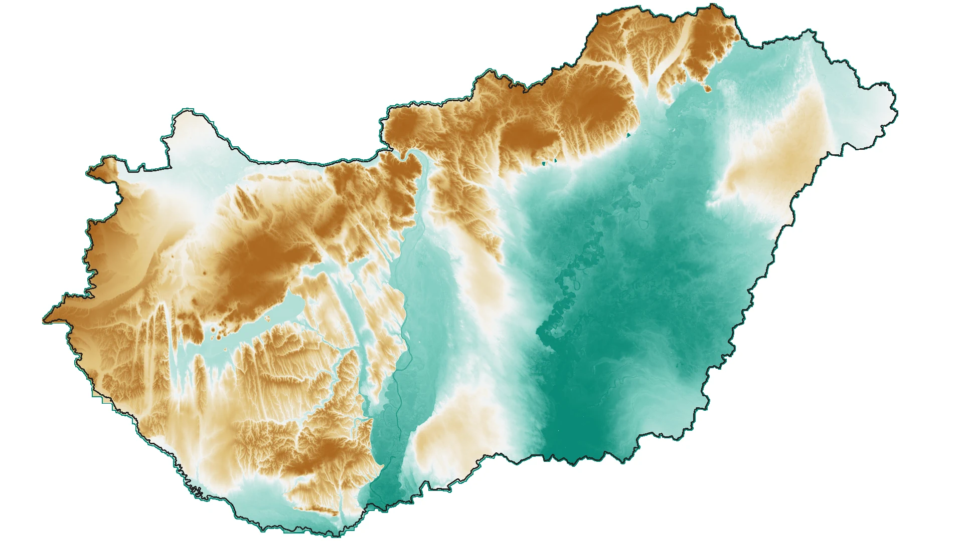
Aerial Photography-Based Digital Elevation Model
A regular-grid digital elevation model originally digitized from contour lines of topographic maps and subsequently refined through stereo-photogrammetric evaluation.
What does it contain?
The digital elevation model was created using contour lines from 1:10,000-scale topographic maps (1979–2000), subsequently refined and corrected through stereo-photogrammetric evaluation. Significant terrain changes occurring after 2000, such as those resulting from major infrastructure developments or open-pit mining, were incorporated into the database using stereo-photogrammetric methods. Complete nationwide updates were carried out in 2000, 2005, 2015 and 2022, while updates in intervening years were performed for specific areas according to the coverage of available aerial imagery. The accuracy of the updates meets the requirements for producing orthophotos with a 40 cm ground sampling distance. The 5 m grid model is based on a hybrid model developed by the Photogrammetry Department, which includes both grid points and breaklines. Consequently, generating a denser grid from the base model provides a more accurate representation of terrain discontinuities defined by the breaklines.