Aerial imagery-based digital surface model
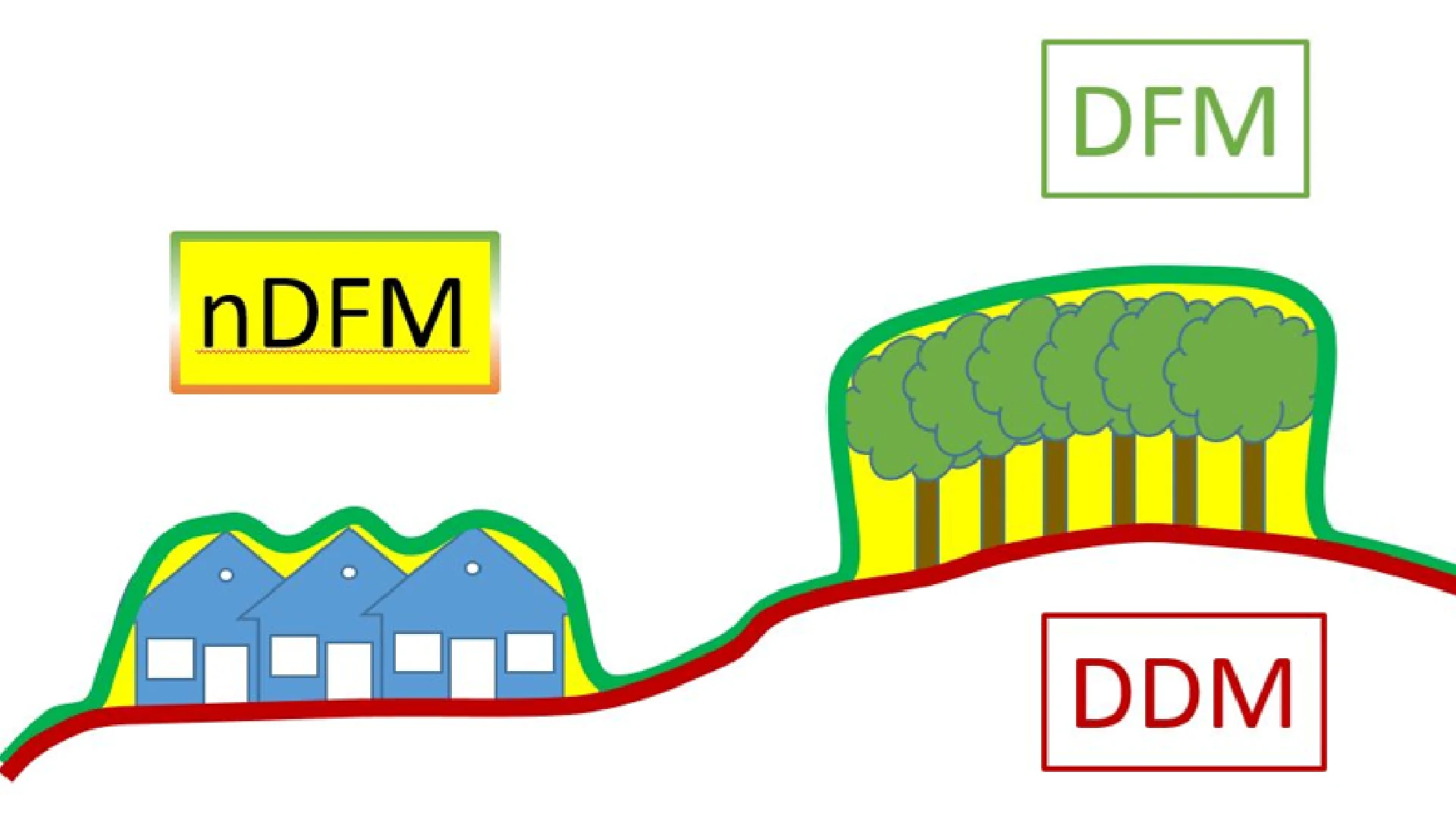
A Digital Surface Model (DSM) representing all land cover features, automatically generated from stereo aerial imagery, without color information.
What does it contain?
Point cloud generated via automated image processing methods using oriented, overlapping stereo aerial imagery. It describes the elevation characteristics of the terrain, as well as the bounding surfaces of any land cover—including permanent and temporary, natural and man-made features—present at the exact time of the aerial survey. Its technical specifications are closely tied to the method of aerial image acquisition, with the final point cloud resolution typically being half that of the original aerial imagery. This is an unclassified dataset (no class assignments) only basic quality checks were done, unedited.