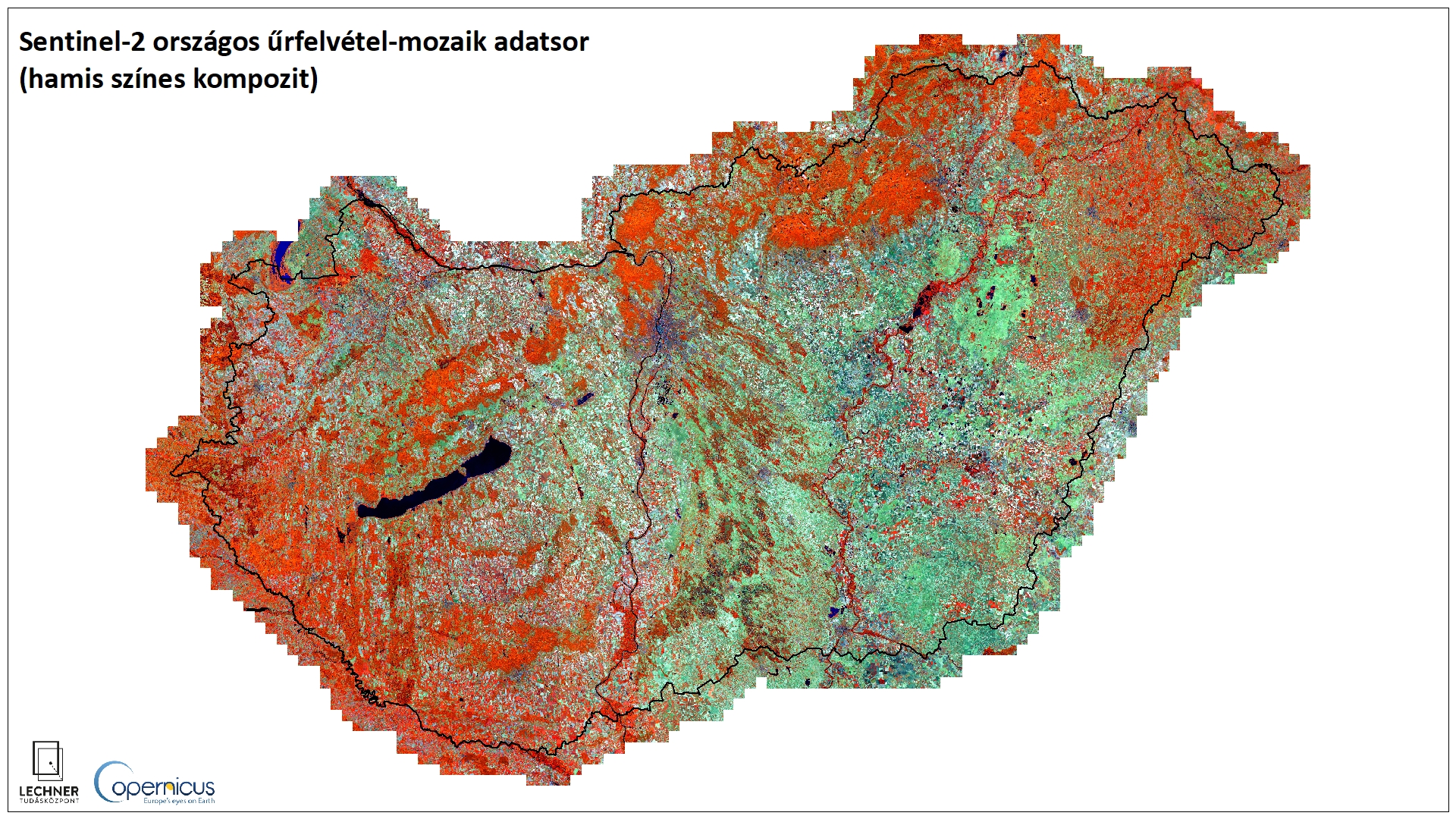
National satellite image mosaics
Datasets
Remote sensing
National satellite image mosaics compiled from cloud-free optical satellite images covering short periods of time.
What does it contain?
A raster map covering the country's territory, created by merging cloud-free Sentinel-2 satellite images taken over a short period of time. We produce such mosaics for 3–4 periods each year.