Supplementary Layers for the National Ecosystem Map of Hungary
The Supplementary Layers for the National Ecosystem Map of Hungary provide more detailed spatial information in four thematic areas.
What does it contain?
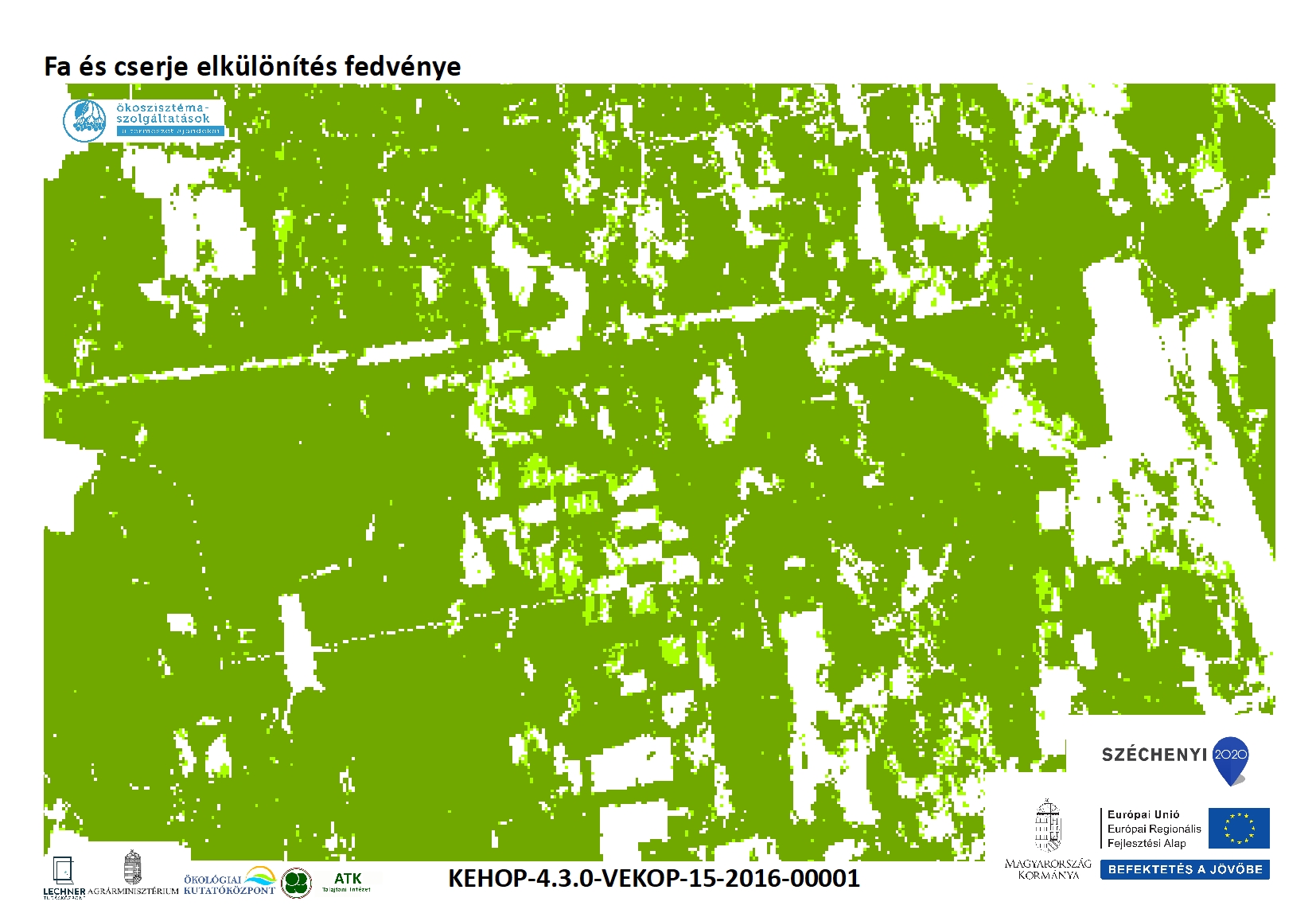
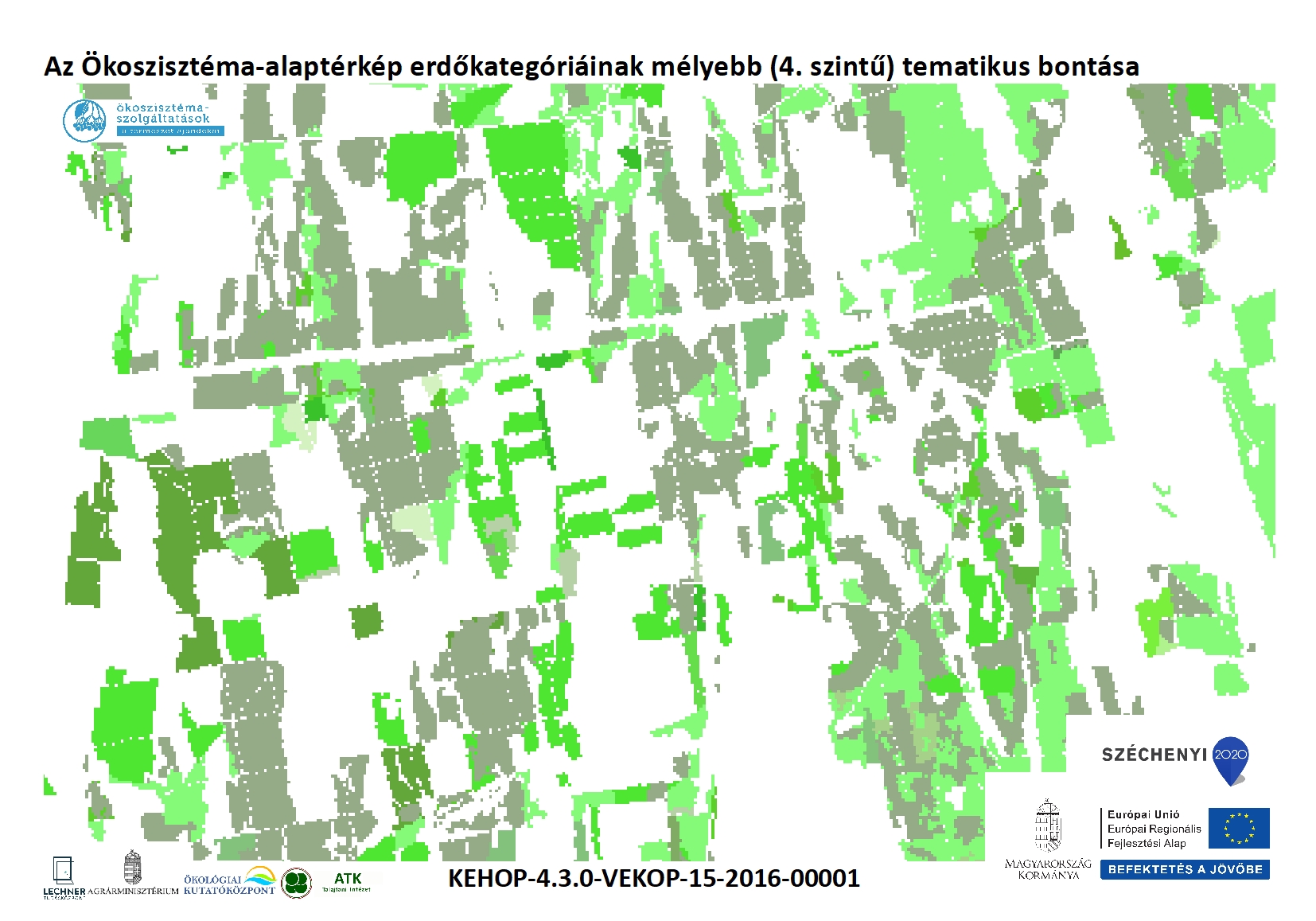
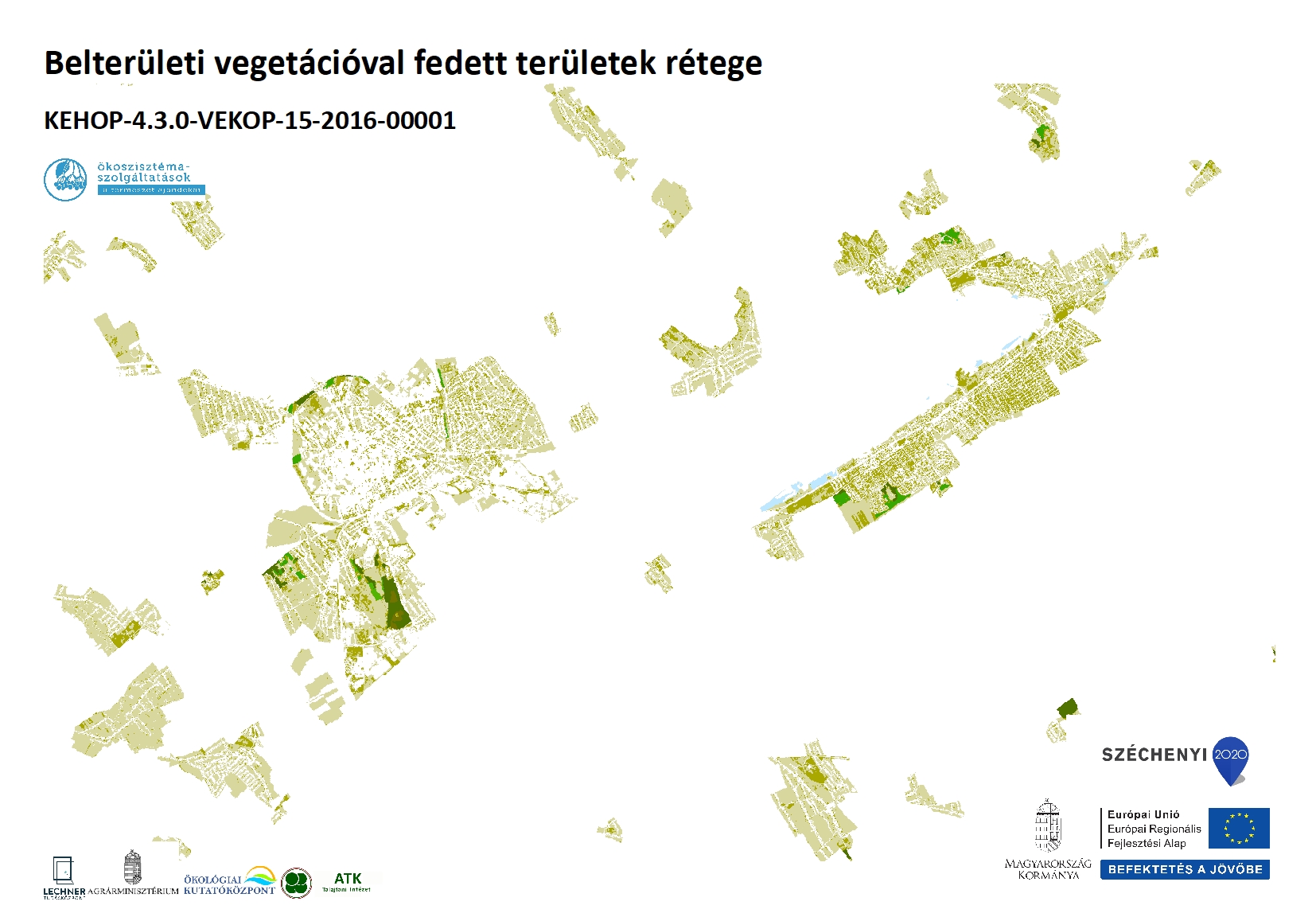
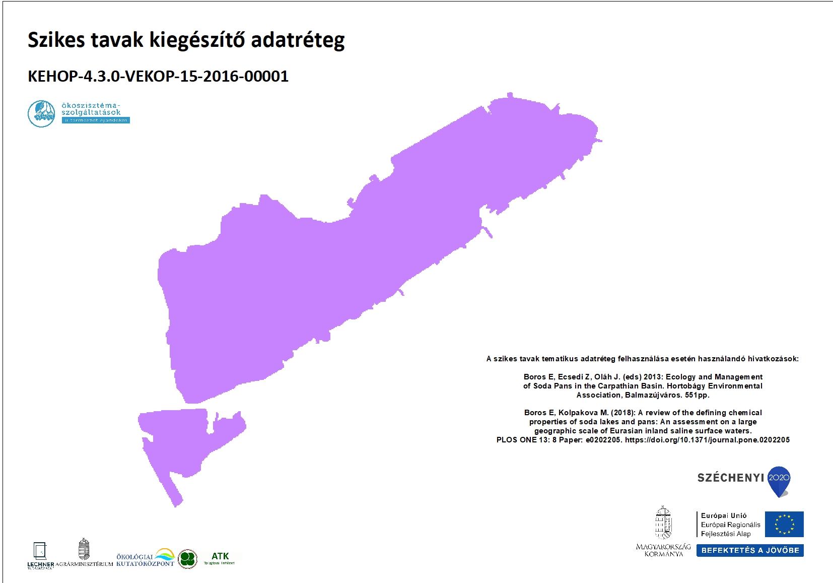
The National Ecosystem Map of Hungary resulting from the ecosystem mapping process is complemented by four independently usable thematic layers, which are also available for public use: (1) a tree and shrub separation layer; (2) a detailed four-level thematic subdivision of the forest categories of the Ecosystem Map; (3) a layer delineating vegetation-covered areas within settlements; and (4) a layer of soda lakes (appropriate citation is required; the relevant references are provided with the downloadable documents). These layers were produced within the framework of the KEHOP-4.3.0-VEKOP-15-2016-00001 project.