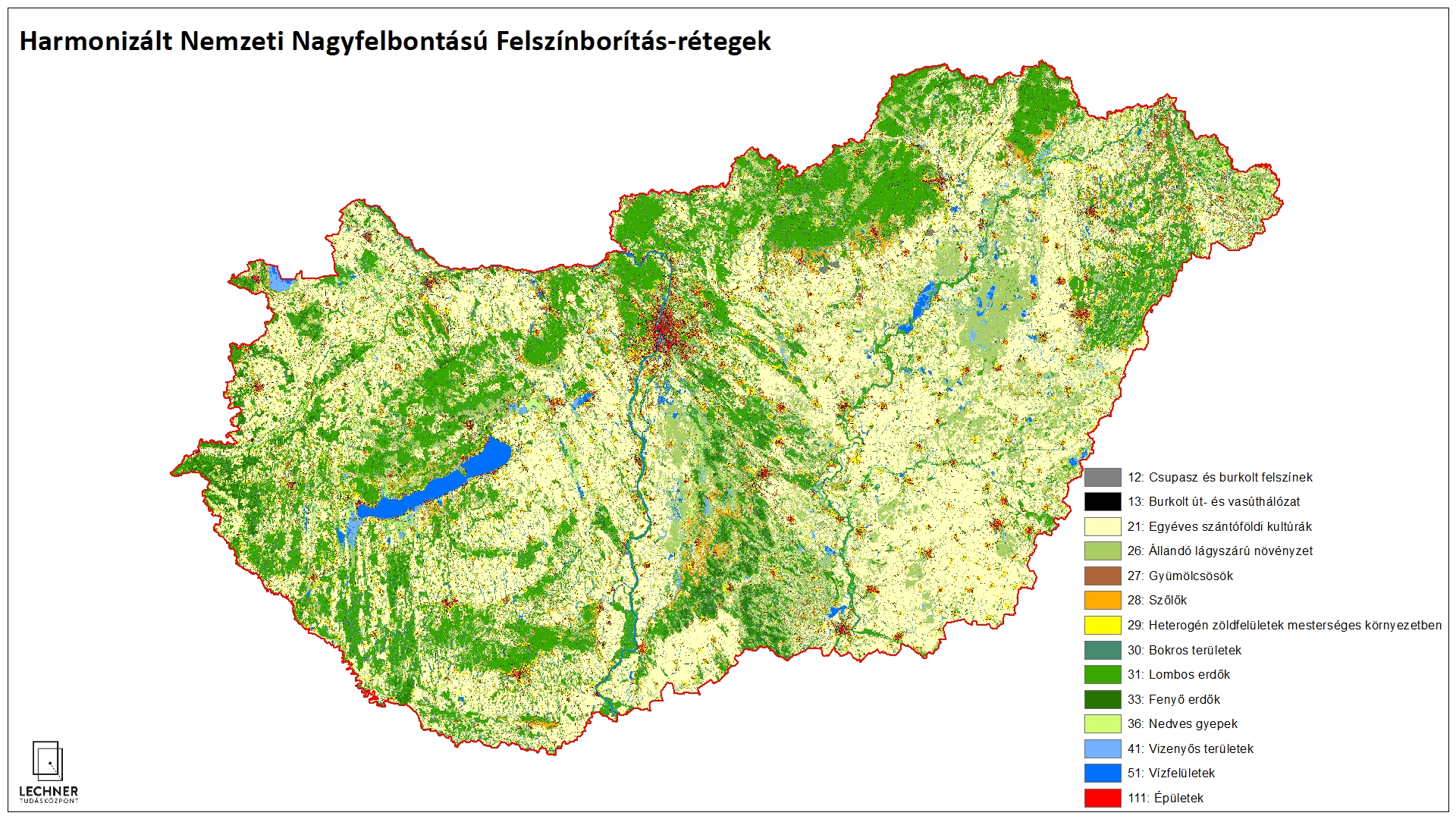
Harmonized National High Resolution Land Cover
Datasets
Remote sensing
A 10x10-meter thematic raster layer suitable for monitoring changes, which provides information on land cover and, to a certain extent, land use.
What does it contain?
Thanks to the large volume of freely accessible satellite imagery provided by the Sentinel satellites, we can obtain information on a given area for multiple periods throughout the year. By processing this satellite imagery using new machine learning methods, we can create more reliable databases on land cover characteristics than ever before. For HNHRL layers, which are created using a simplified nomenclature but at a higher level of processing, changes occurring between individual status layers undergo visual verification, during which the layers are manually refined.