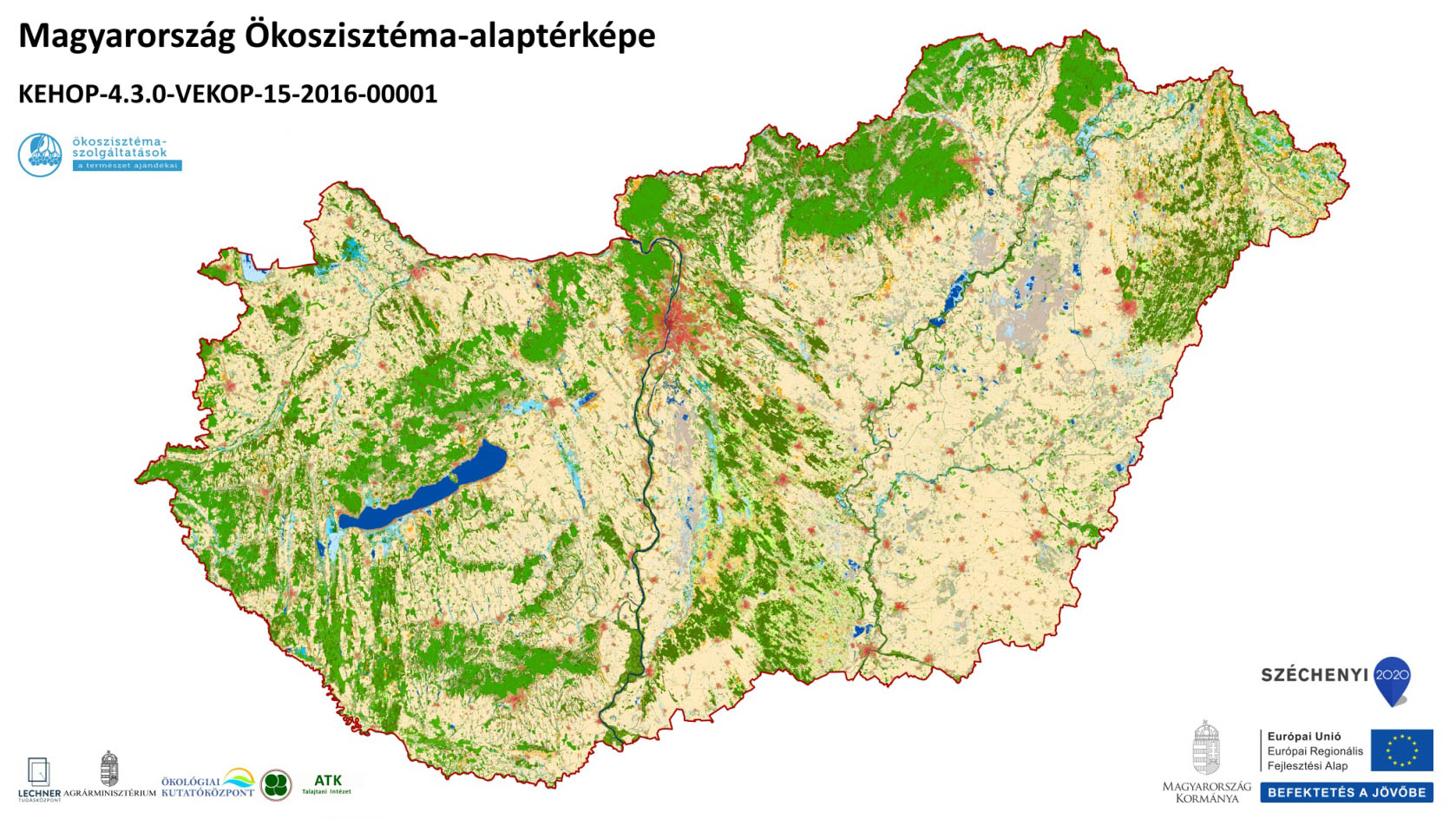
National Ecosystem Map of Hungary
Datasets
Remote sensing
A map layer showing the spatial distribution of ecosystem types, created using data integration and remote sensing techniques.
What does it contain?
The thematic mapping of Hungary’s ecosystems was carried out using a data integration method rather than a resource-intensive field survey. Sub-datasets containing information relevant to the delineation of individual ecosystem types were extracted from various specialized information sets and map databases, with missing elements filled in using remote sensing methods. This task was carried out through institutional collaboration as part of the KEHOP-4.3.0.-VEKOP-15-2016-00001 project.