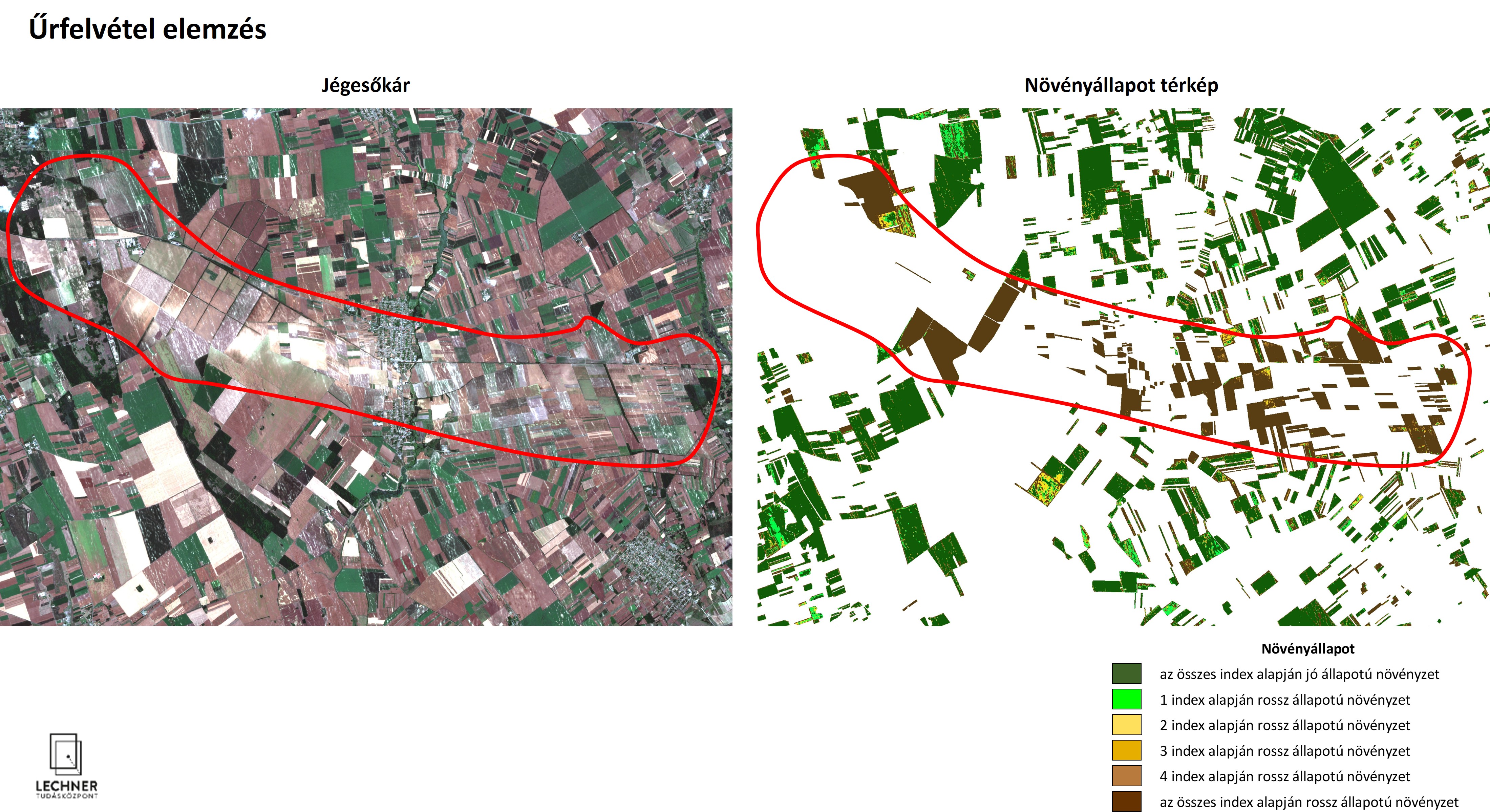
Analysis of Satellite Images
A thematic map created through the processing, evaluation, and interpretation of satellite imagery—or simply an answer to a specific question—to support decision-making.
Problem description
When was the building constructed? When was the forest or the trees cleared? Was the area used for agriculture or did it suffer from waterlogging? These are just a few of the possible questions that can be easily answered using satellite imagery.
Solution workflow
Our experts, who have decades of experience in analyzing satellite imagery, help provide answers by selecting, processing, and evaluating remote sensing data relevant to the questions posed.
Output
We help you select the appropriate remote sensing data to answer your question and create an illustration that shows the answer. If necessary, we document this in writing (including in an expert opinion).