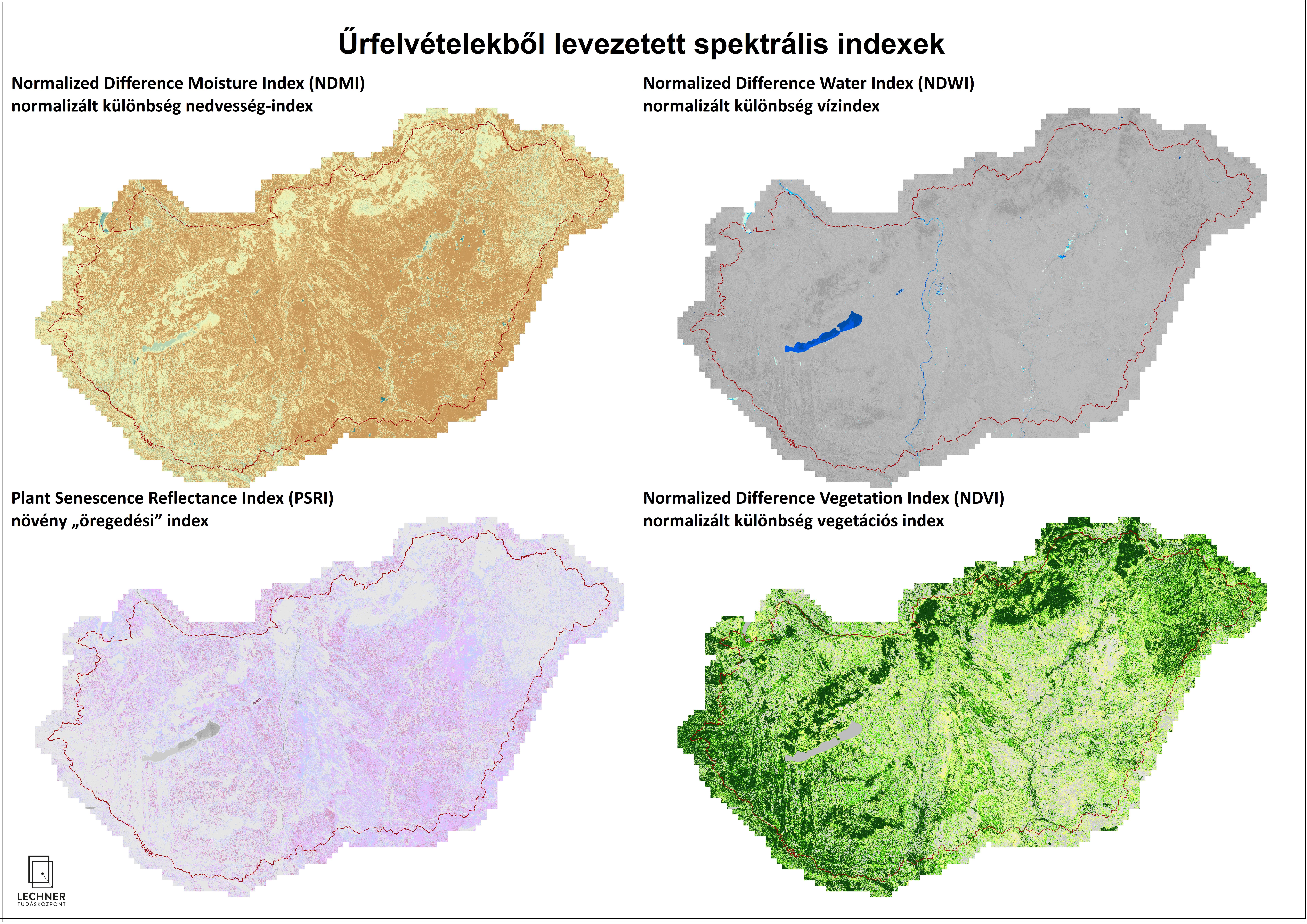
Spectral indices derived from satellite imagery
Datasets
Remote sensing
Values derived from optical satellite images using mathematical methods, based on spectral bands, that characterize specific properties of the Earth's surface or vegetation.
What does it contain?
Values calculated using mathematical methods from the spectral bands of satellite imagery, which characterize certain properties of the Earth’s surface or vegetation. We can calculate such indices (e.g., NDVI, NDWI, PSRI, GLAI) to assess, among other things, vegetation density and activity, water content, leaf area, the “aging” and “yellowing” of green vegetation surfaces, soil cover, and water coverage.