EHA-based geocoding
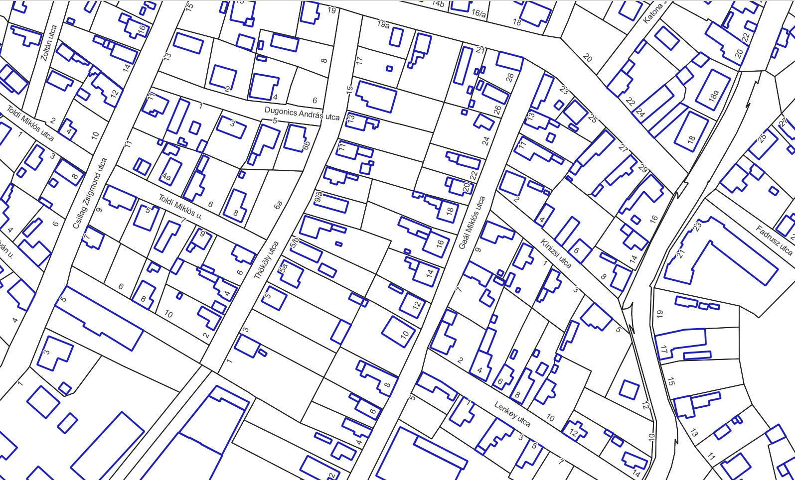
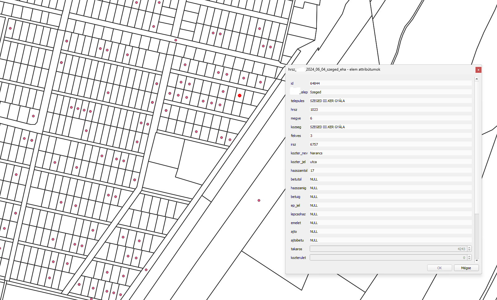
Custom geocoding service based on the EHA (Address Location Database). The client may provide an address, cadastral parcel identifier, or geometry, which is then matched and enriched with geocoded address information from the land registry.
Problem description
Business address databases typically do not contain cadastral parcel identifiers. EHA, however, can establish a link between address data and cadastral parcel numbers, thereby providing a connection to the land registry.
EHA also contains address information for other independent property units, such as apartments and units located on specific floors. This means that the linkage can be established not only at parcel level, but also at the level of individual property units.
If the client has geometry data and the relevant land parcel can be identified based on that geometry, EHA can also be used to determine the corresponding address.
In many cases, address cleansing and normalization should be carried out beforehand. This can significantly improve the match rate and the accuracy of linking addresses, cadastral parcel identifiers, and land registry records.
Solution workflow
A preliminary consultation is required so that our experts can review and understand the input data, including the potential need for data cleansing.
In the case of an address list, we first assess the achievable match rate, i.e. what percentage of the addresses can be successfully identified. The scope of the matching can also be narrowed according to specific requirements, for example to parcel-level addresses only, apartments, land parcels, or by property location/type.
There may also be cases where geometry is not required at all, and only the relationship between the address and the cadastral parcel identifier is needed.
As an additional service, our experts can also adjust the positioning and rotation of address labels for cartographic display, subject to a service fee.
In the case of an address list, we first assess the achievable match rate, i.e. what percentage of the addresses can be successfully identified. The scope of the matching can also be narrowed according to specific requirements, for example to parcel-level addresses only, apartments, land parcels, or by property location/type.
There may also be cases where geometry is not required at all, and only the relationship between the address and the cadastral parcel identifier is needed.
As an additional service, our experts can also adjust the positioning and rotation of address labels for cartographic display, subject to a service fee.
Output
Client data enriched with EHA address records, delivered in XLSX, CSV, SHP, or Esri geodatabase format.