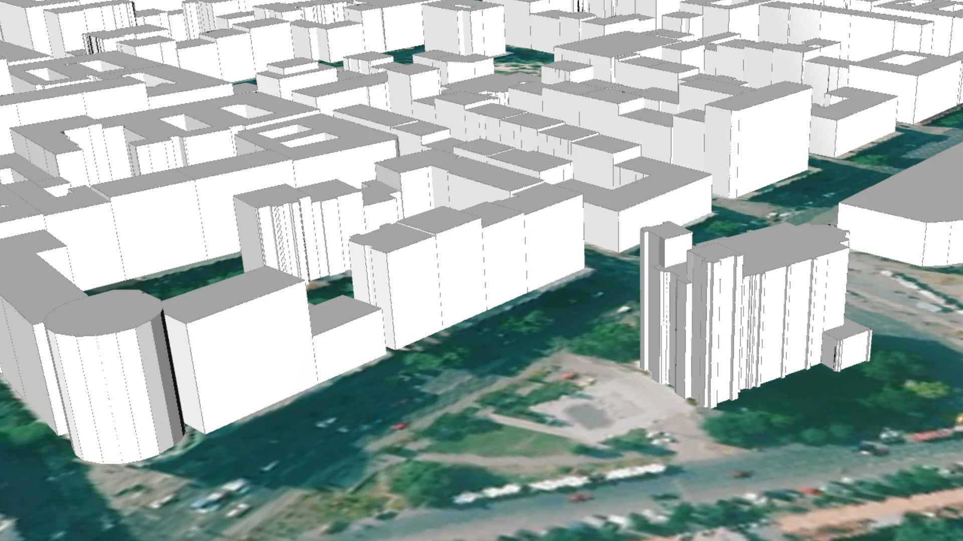
LiDAR-based LOD1 building model
Datasets
Remote sensing
A building models generated by attributing LiDAR-derived height values to building roof contours extracted from the same LiDAR dataset.
What does it contain?
A block-shaped 3D solid representing the generalized outer surface for all buildings or building parts (the building polygons are generated from the LiDAR point cloud using automated algorithms). The top and bottom bounding planes are horizontal, while the lateral bounding surfaces are vertical. When visualized on a Digital Terrain Model (DTM), the lower bounding surface inherently corresponds to the terrain model.