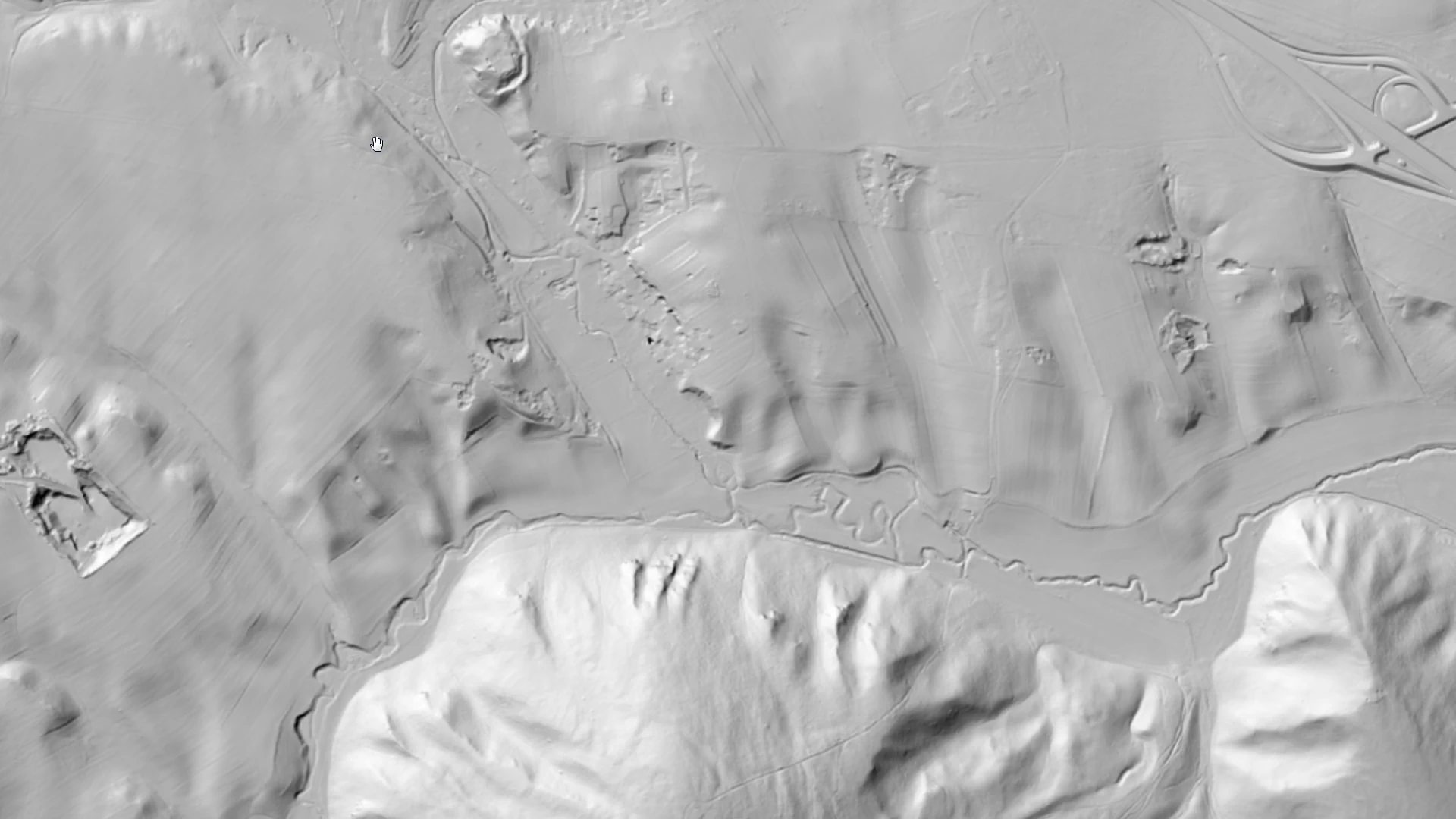
LiDAR-based Digital Terrain Model (DTM)
A dataset derived from LiDAR measurements describing the elevation characteristics of the terrain.
What does it contain?
One of the advantages of LiDAR technology is that the laser pulses used can partially or completely penetrate the vegetation canopy, thereby providing highly accurate terrain data even in densely vegetated, mountainous areas. The introduction of this new technology has enabled a modern update of the DTM (Digital Terrain Model) for this region. To integrate it into the National DTM, a digital terrain model with a 5-meter resolution grid was generated from the ground-classified LiDAR point cloud. It was subsequently tiled in accordance with the EOTR (Unified National Mapping System) sheet system, ensuring seamless alignment with the existing data structure (currently for Veszprém County).