Creating Remote-Sensing Grassland and Crop Maps
Use cases
Remote sensing
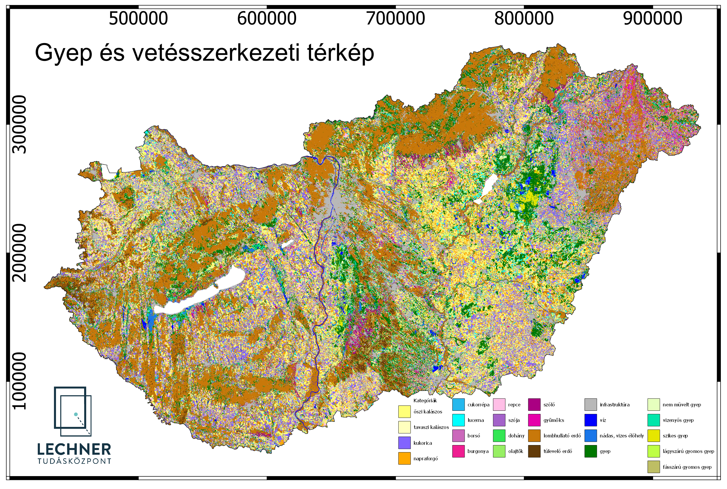
LTK has developed a unique remote sensing technology for nationwide mapping of grasslands and crops
Problem description
What crops were grown where during a given period? When were they harvested? We can answer these questions by analyzing time series of satellite imagery.
Solution workflow
We select remote sensing data suitable for answering the questions posed, create time series from them, and produce thematic maps.
Output
Our thematic maps show which crops were grown where during a given period. We also provide accuracy metrics for our data.