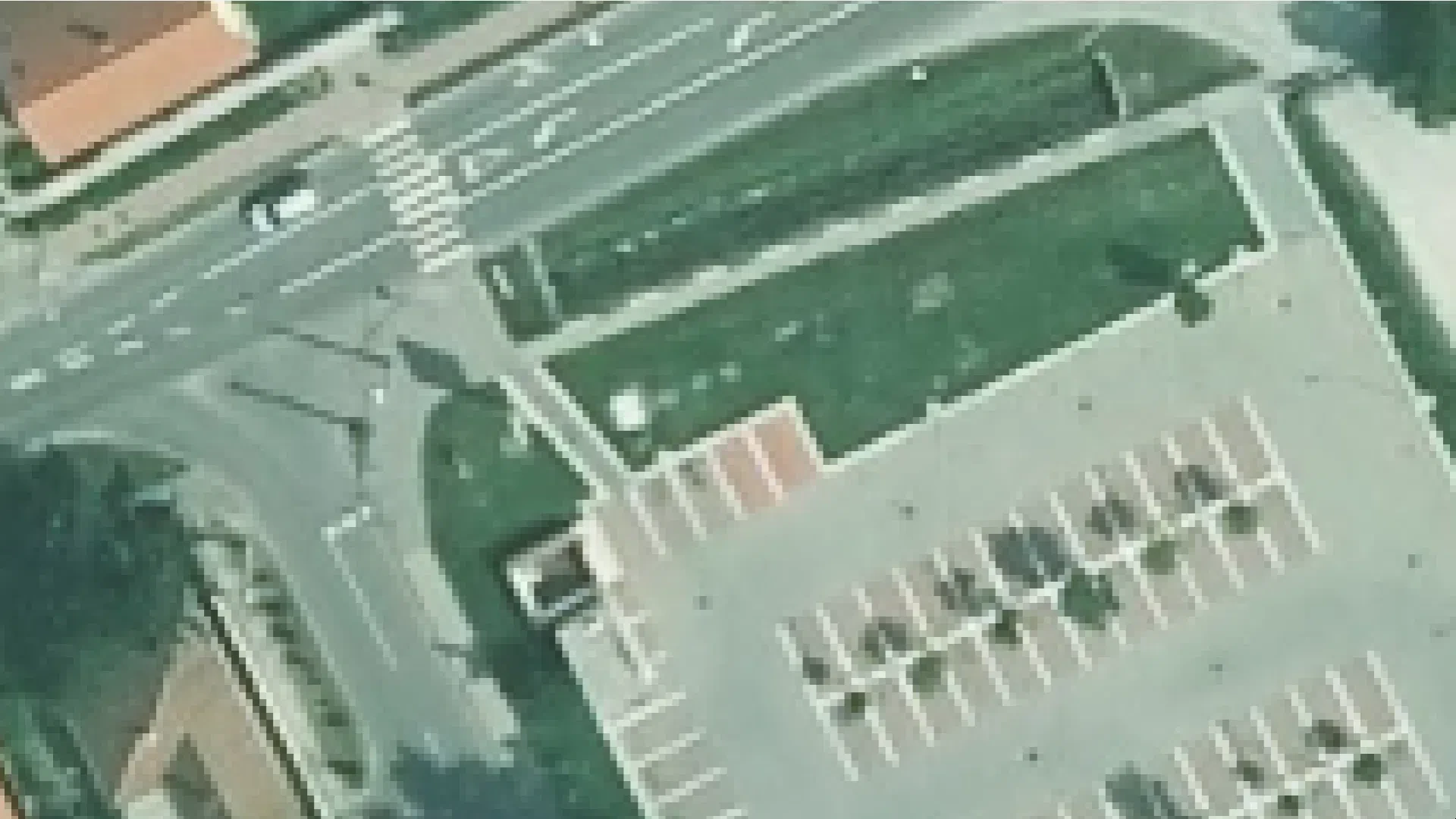

Orthophotos 2017–2025 (basic government data resolution)
Datasets
Remote sensing
Digital orthophoto database of Hungary containing orthophotos acquired within the last ten years and forming part of the basic government data.
What does it contain?
State-approved orthophotos (measurable aerial photographs transformed into a cartographic reference system). Orthorectification removes distortions caused by the characteristics of aerial photography and other factors.
Further information