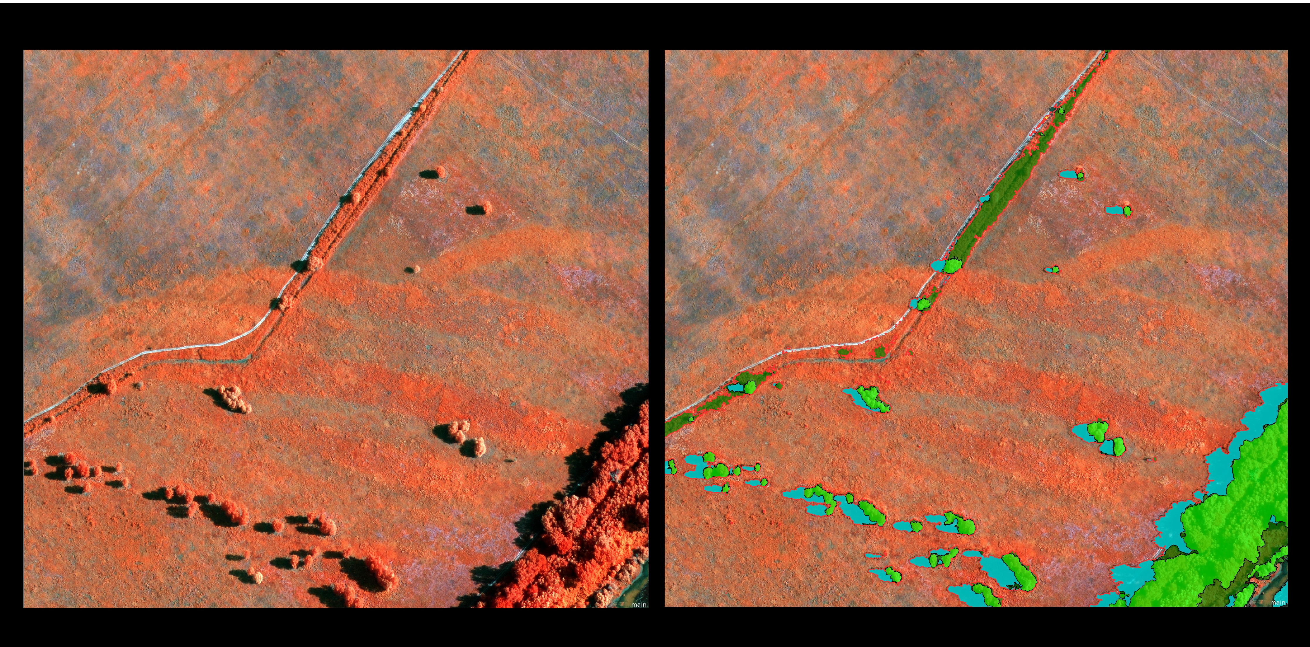
Map created using object-based image processing (OBIA)
Use cases
Remote sensing
LTK has developed a unique remote sensing technology for the analysis of remote sensing data to support object recognition.
Problem description
In wide-area satellite imagery or orthophotos, we can identify distinctive objects or areas based on their spectral characteristics and shape. This method is also suitable for mapping built or natural features.
Solution workflow
Our experts, who have decades of experience in analyzing satellite imagery, help provide answers by selecting, processing, and evaluating remote sensing data relevant to the questions posed.
Output
We can create a thematic map tailored to user needs.