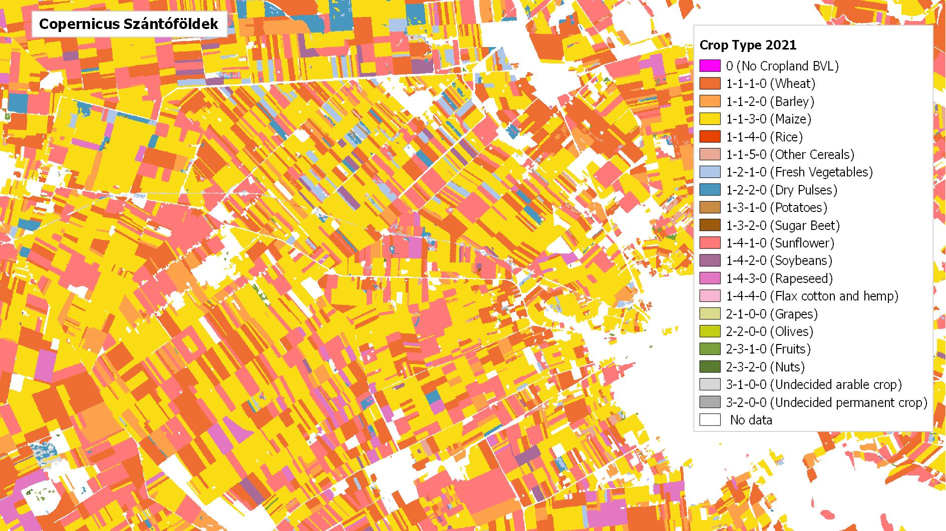
Copernicus High Resolution Layer Croplands (Crop types, Cropping patterns)
Datasets
Remote sensing
Spatial data on agricultural areas, crop types and cultivation patterns in Europe.
What does it contain?
A high-resolution pan-European raster product suite providing information on agricultural areas and cultivated crop types. Its layers include Crop Types, Main Crop Harvest, Secondary Crop, Crop Rotation and Fallow Land, among others. The product has been produced annually since 2017 and is available at a spatial resolution of 10 m.