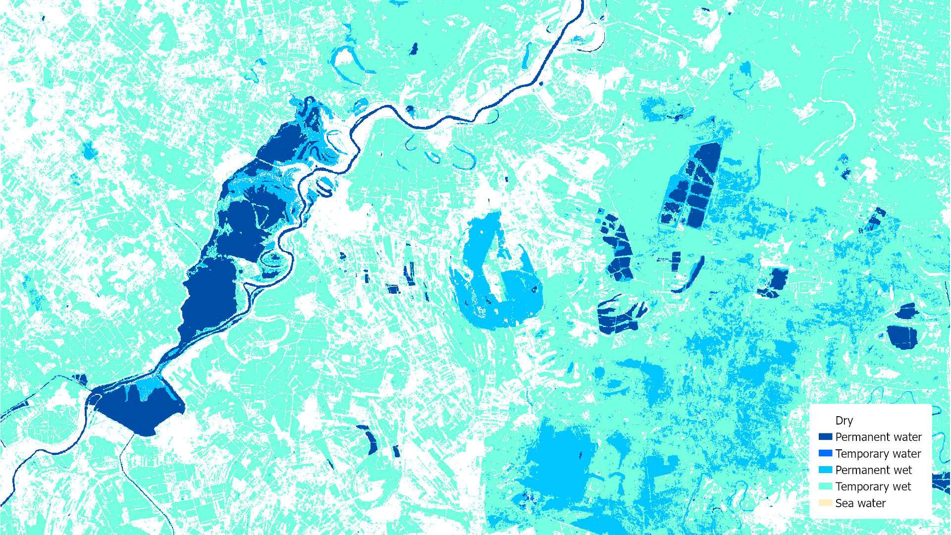
Copernicus High Resolution Layer Water and Wetness
Datasets
Remote sensing
Spatial data on permanent and seasonal water cover and wetlands in Europe.
What does it contain?
A pan-European raster product designed to provide information on the presence and status of permanent and temporary water cover, as well as wet surfaces. Its layers include Permanent Water, Temporary Water, Permanent Wetness and Temporary Wetness. The product is available for the reference years 2015 and 2018. Its spatial resolution is 10 m from 2018 onwards and 20 m for earlier reference years. The update cycle is three years.