Copernicus High Resolution Layer Imperviousness
Datasets
Remote sensing
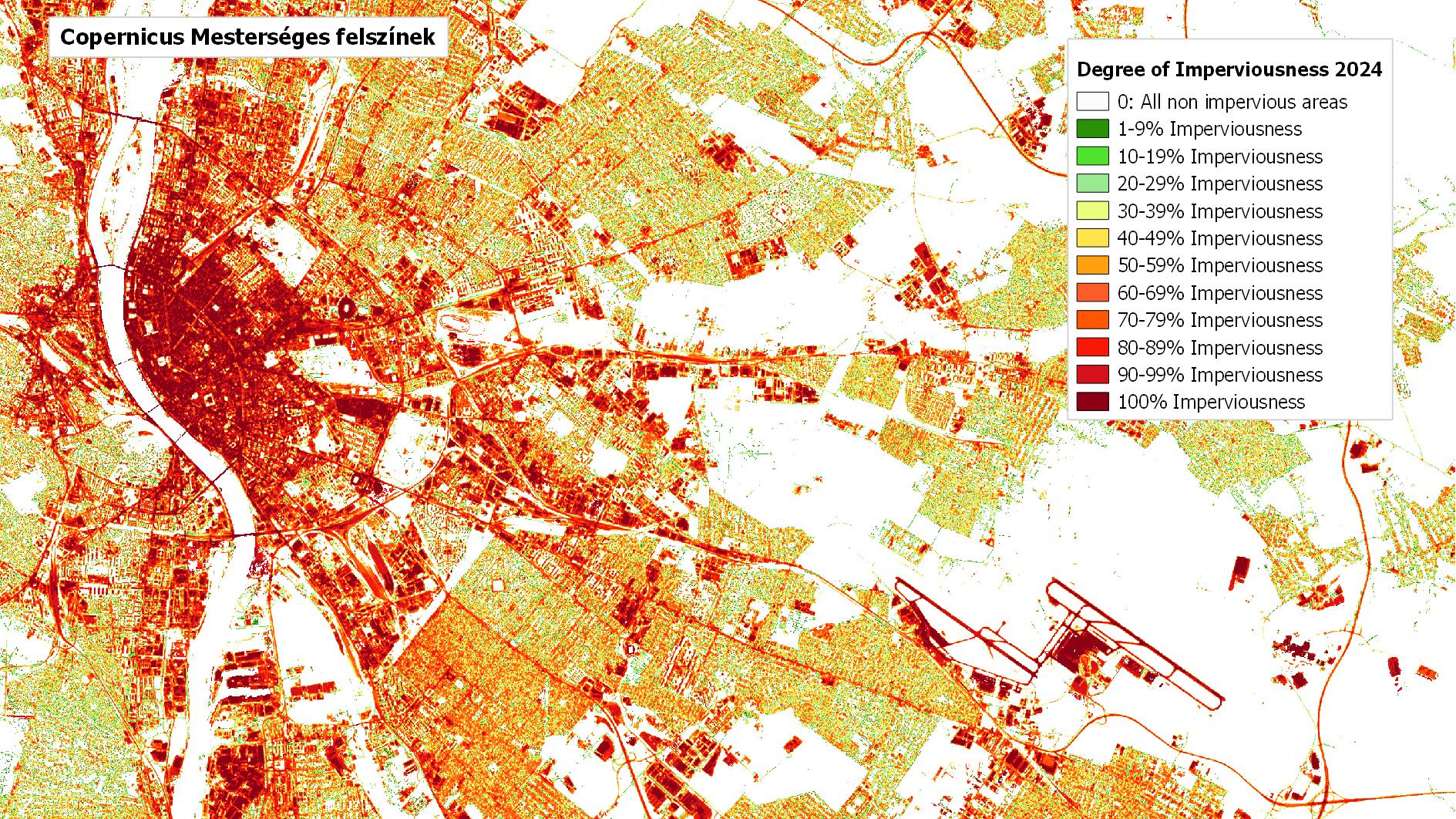
Map of artificially sealed (impervious) surfaces and built-up areas in Europe.
What does it contain?
The Imperviousness layer identifies areas where the original natural or semi-natural land or water surface has been replaced by an artificial surface that is often non-permeable or only partially permeable to water. It is produced every three years for Europe through semi-automated processing of satellite imagery, at a spatial resolution of 20 m between 2006 and 2015 and 10 m from 2018 onwards. The product includes the following layers:
- Imperviousness Degree (soil sealing ratio, 1-100%)
- Impervious Built-Up (area covered by buildings, available from 2018)
- Change layers (20 m)