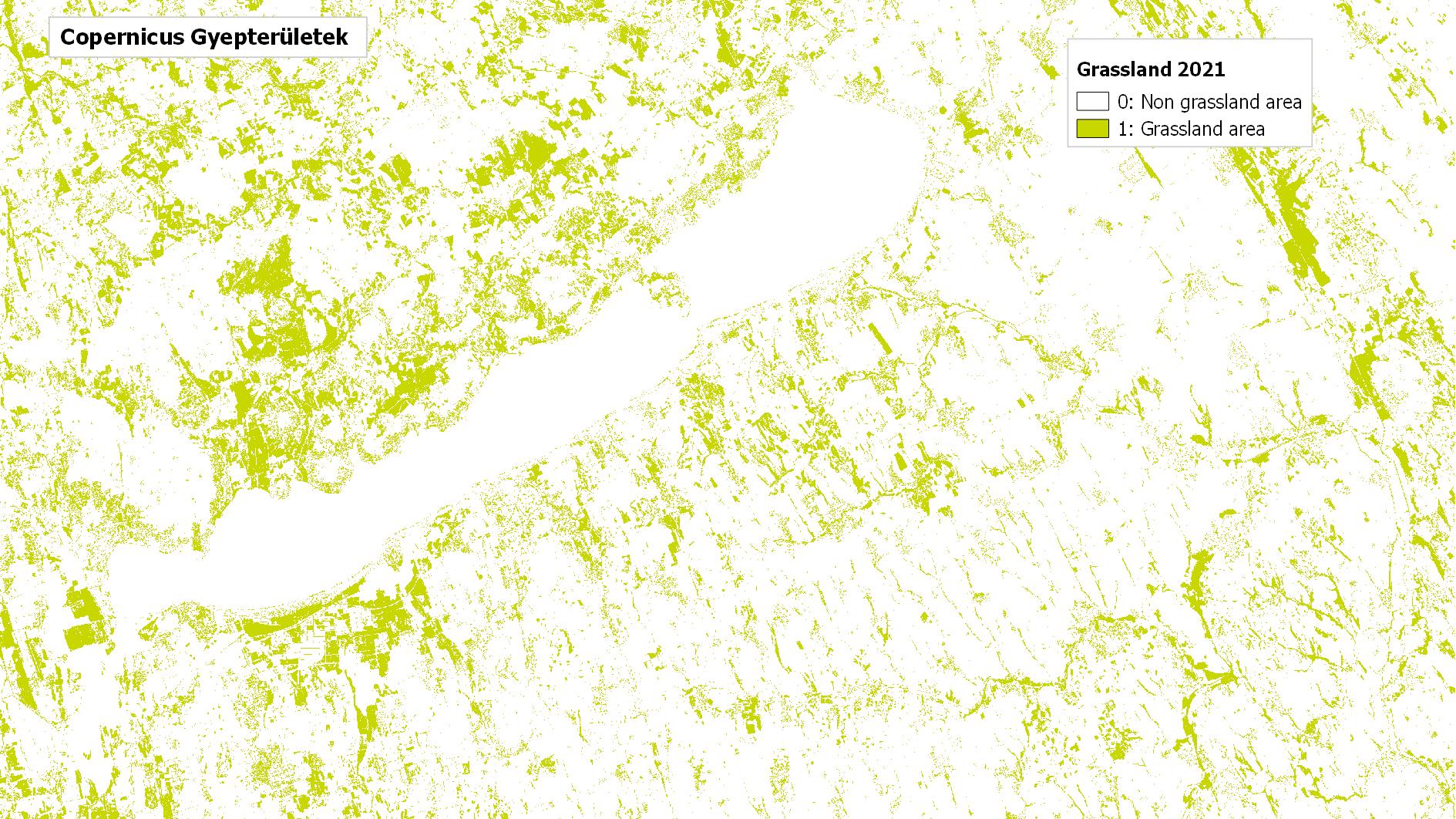
Copernicus High Resolution Layer Grassland
Datasets
Remote sensing
High-resolution map of grasslands showing their distribution, type and mowing events in Europe.
What does it contain?
A high-resolution raster product providing pan-European grassland and herbaceous cover information. Its main layers map grassland areas, herbaceous vegetation, and mowing events, including the occurrence of ploughing (PLOUGH) and occurence (GRAME) and timing (GRAMD) of mowing. The product also captures changes in grassland vegetation. It is available for the reference year from 2017 onwards, grassland change layers are produced from 2018 with a three-years update cycle. Status layers are produced at a spatial resolution of 10 m, while change layers are available at a spatial resolution of 20 m.