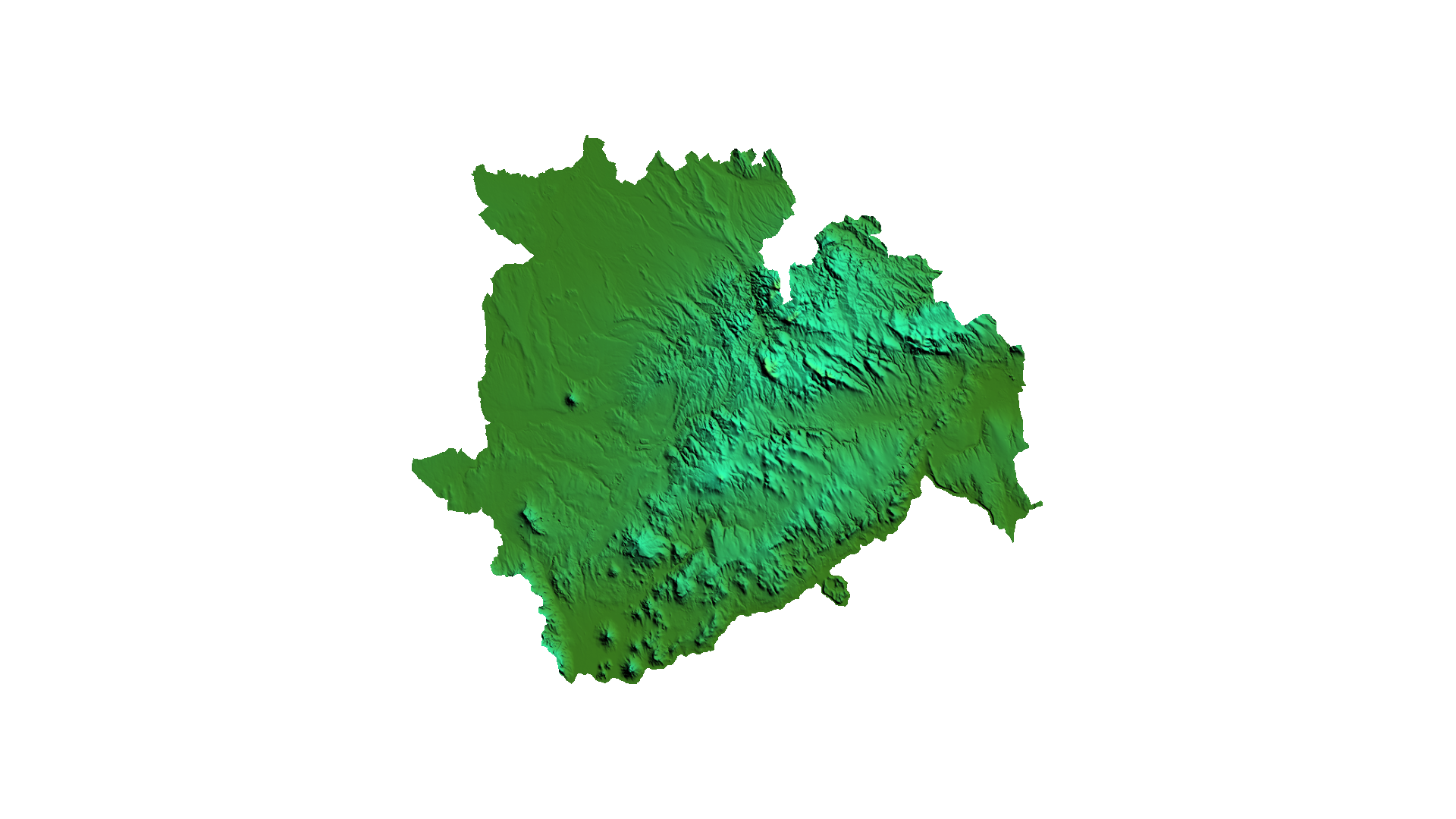
LiDAR based digital terrain model (free of charge)
Datasets
Remote sensing
A free dataset describing the terrain of Veszprém county based on LiDAR measurements, with a 25m resolution.
What does it contain?
A free dataset derived from the ground-classified data points of a 2024 LiDAR (and high-resolution aerial imagery) survey covering Veszprém county, with a spatial resolution of 25m.