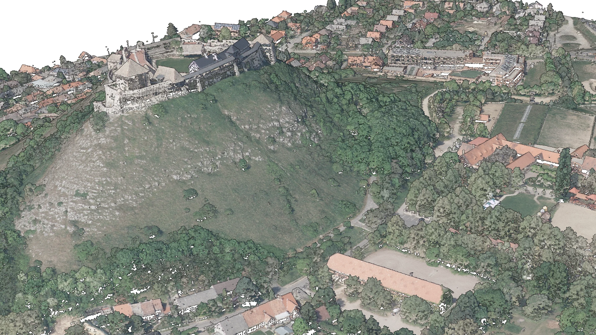
LiDAR-based colorized digital surface model
Datasets
Remote sensing
A Digital Surface Model (DSM) of the terrain and all land cover features, derived from LiDAR measurement data and enriched with RGB color information from aerial imagery.
What does it contain?
Elevation model derived from LiDAR measurement data, which describes the elevation characteristics of the terrain and the bounding surface of any land cover- including permanent and temporary, natural and man-made features - present at the exact time of the aerial survey. Its native data format is a point cloud, which is colorized using aerial imagery acquired simultaneously with the LiDAR survey.