CORINE Land Cover Change
Datasets
Remote sensing
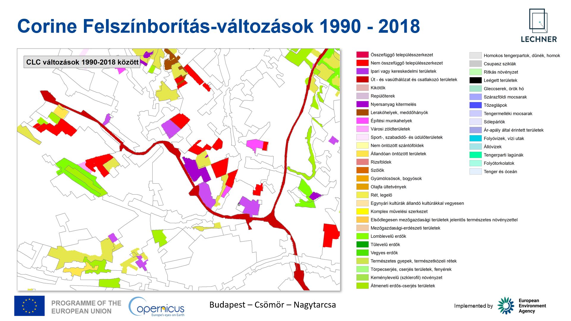
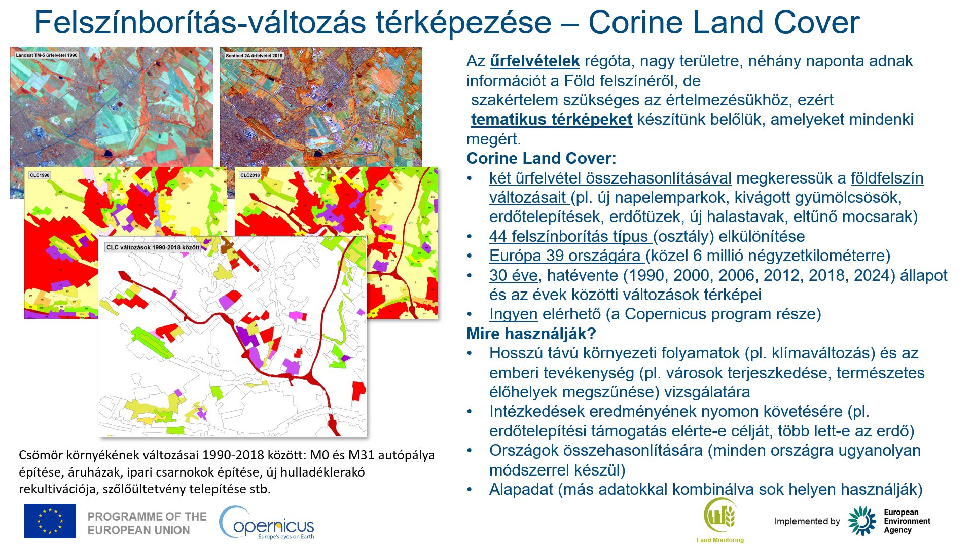
Map of land cover changes for 39 European countries, showing changes between the CLC reference years 1990, 2000, 2006, 2012, 2018 and 2024.
What does it contain?
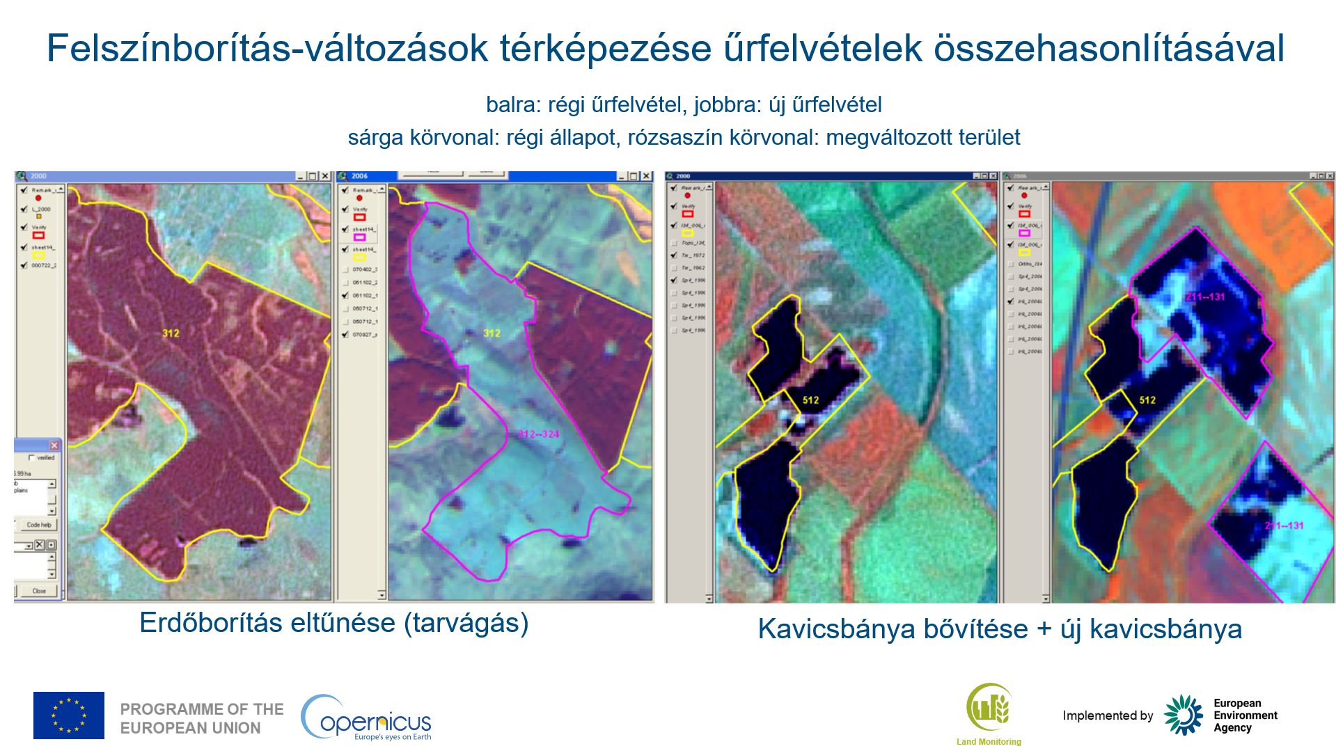
The CORINE Land Cover (CLC) Change layer is produced through the direct mapping of land cover changes between CLC reference years, primarily by visual interpretation of satellite imagery, rather than by overlaying successive CLC status maps. The resulting high-quality change information is of key importance for long-term land monitoring. The vector dataset has a minimum mapping unit of 5 ha.